

2025 Tour Divide: Racing (Day 3) - Butts Cabin, British Columbia 🇨🇦 to Birch Creek Recreation Area, Montana 🇺🇸
- Written by Keith Huster
- 20 min read
- Last updated 3 months ago
Today is an exciting day... I cross back into the USA 🇺🇸!!! This is a huge milestone toward completion of the 2025 Tour Divide. But first, I must conquer "The Wall" and avoid a large mountain lion. 😱
• Next Post: Racing (Day 4) - Birch Creek Recreation Area, Montana 🇺🇸 to Timbers Motel, Montana 🇺🇸 [coming soon]
• Previous Post: Racing (Day 2) - Koko Claims, British Columbia 🇨🇦 to Butts Cabin, British Columbia 🇨🇦
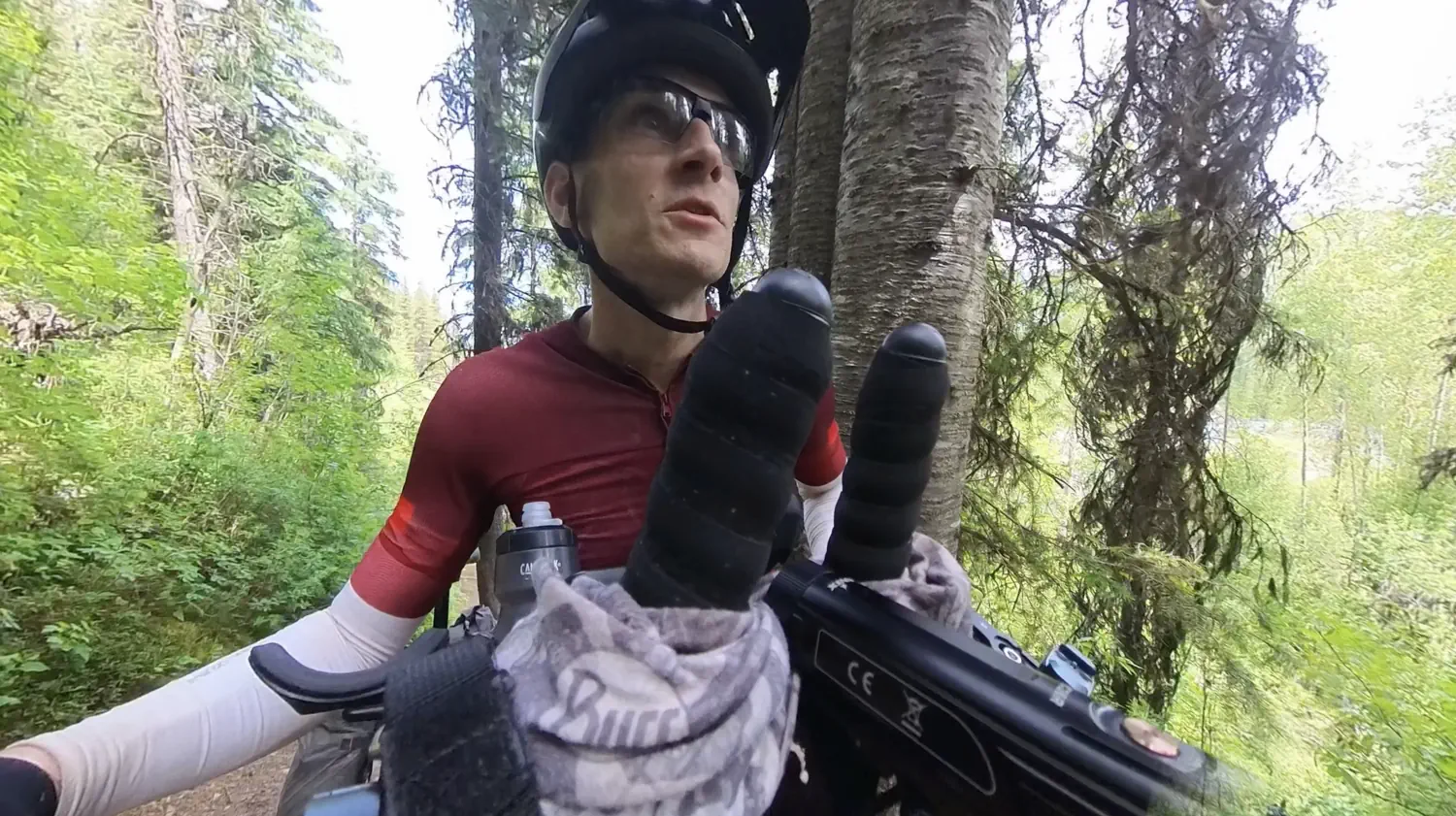
Check out the Day 3 YouTube Video 📼 📺
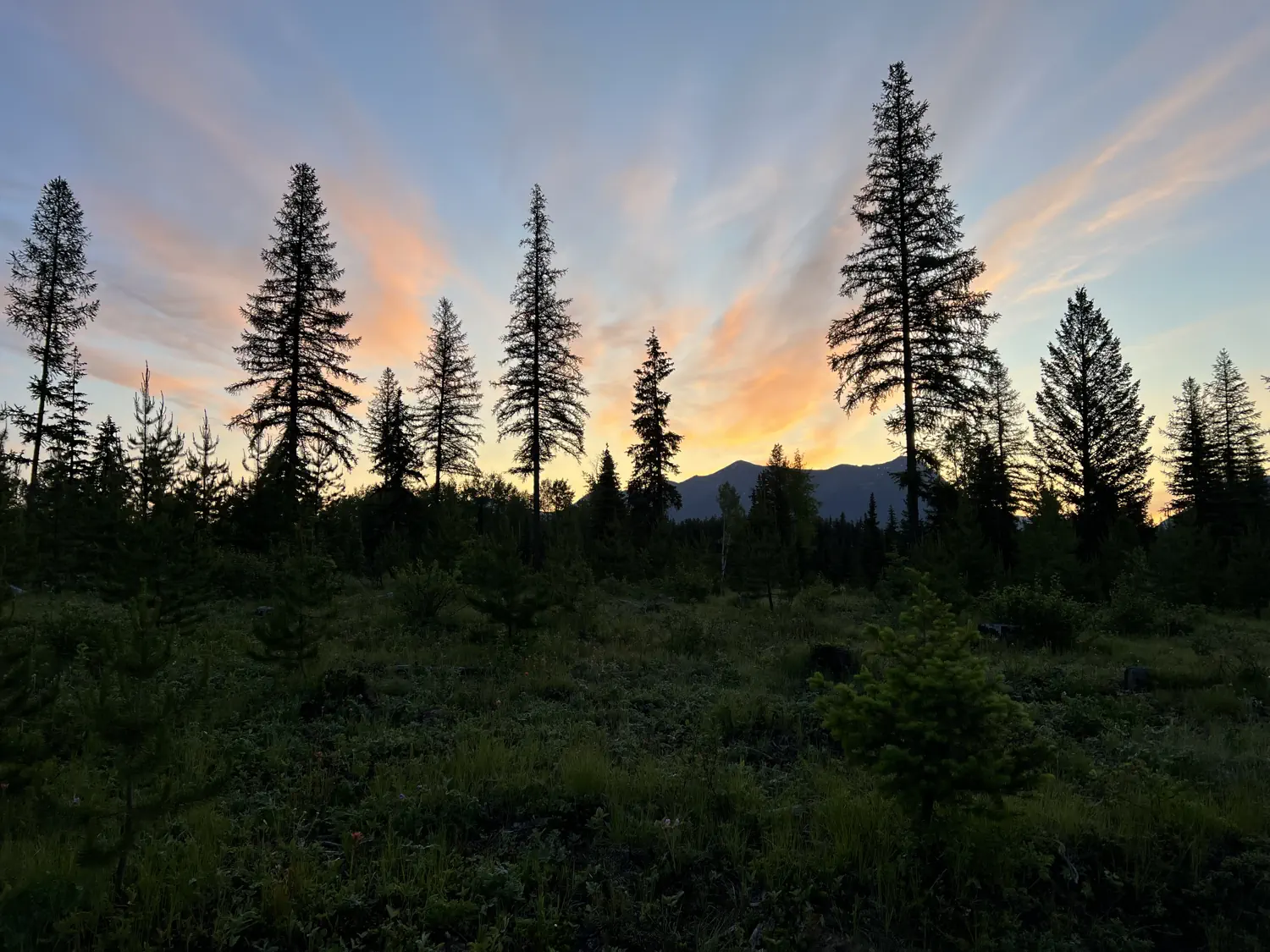
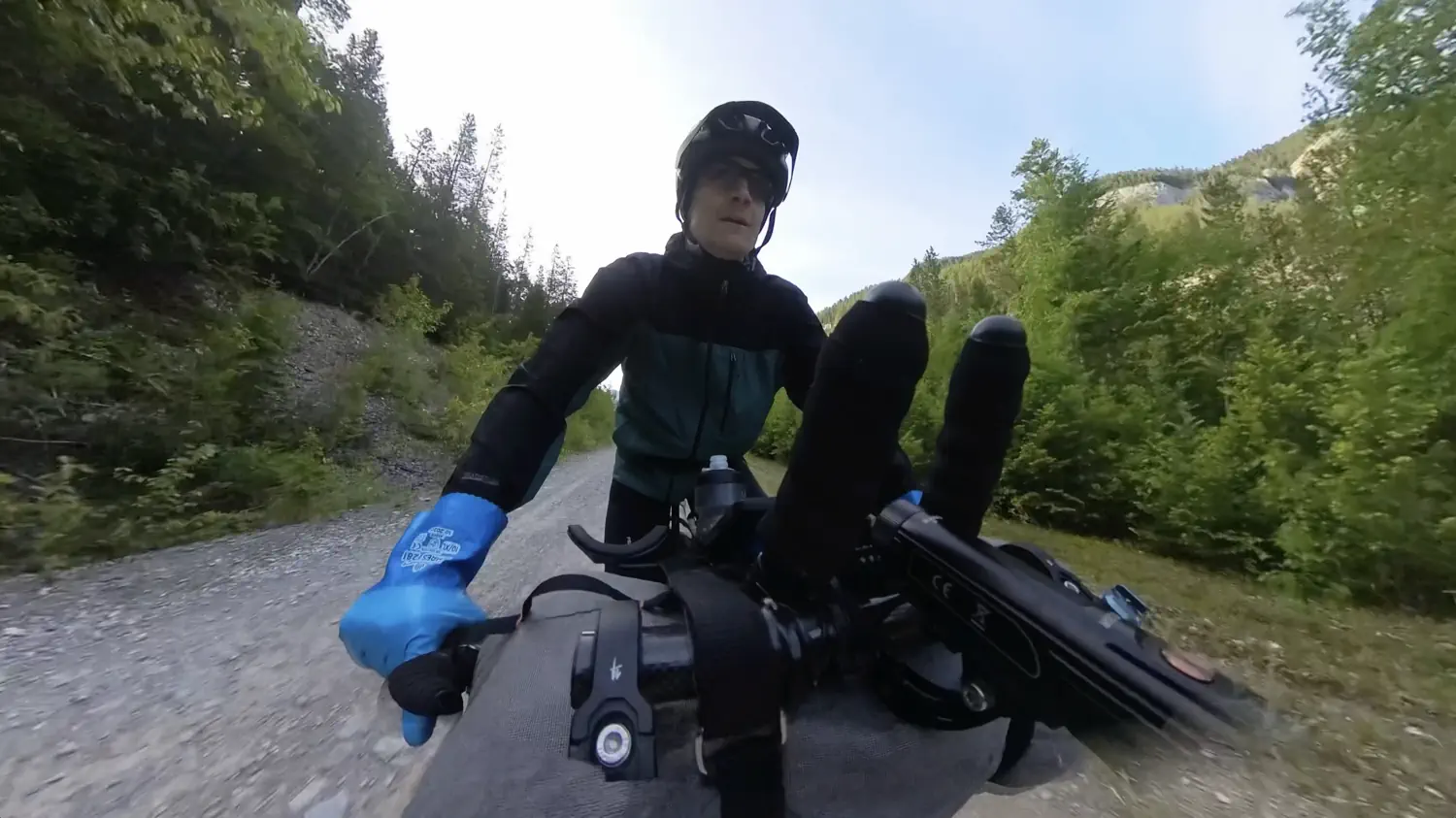
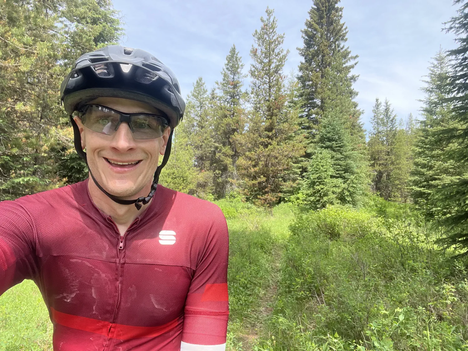
Early morning, leaving Butts Cabin 🌅 🥶
Once again, I had an early morning start. I left Butts Cabin at 5:16 AM. 🥱 It was extremely cold due to the high elevation and clear skies. So cold that I had a thin layer of ice on my tent! 🥶 The cold mornings are kind of helpful, though, as it makes me want to get moving on the bike so I can warm up. Otherwise, I would be tempted to hang out and have breakfast before riding.
The morning ride started with a small descent, which froze my fingers, toes, and face. Thankfully, the descent was short, and I eventually started pedaling uphill again. Once I started climbing, I finally started to warm up, at least a little bit. I really wouldn't get warm again until a few hours later, when I eventually stopped for a roadside breakfast.
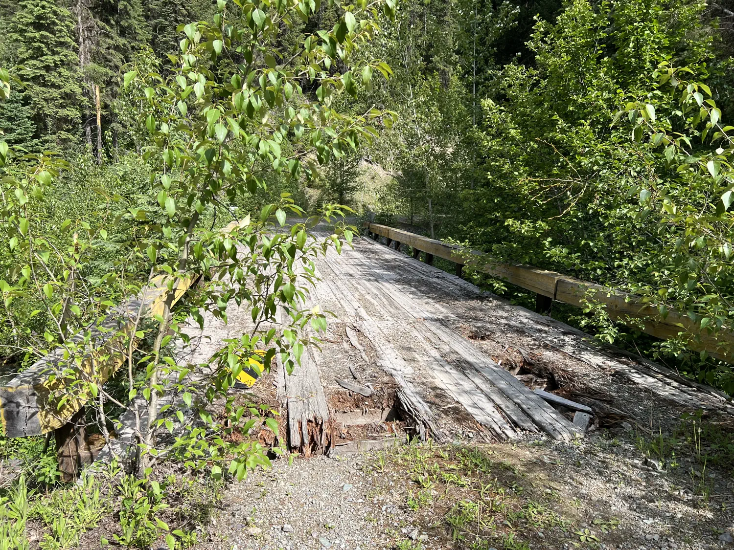
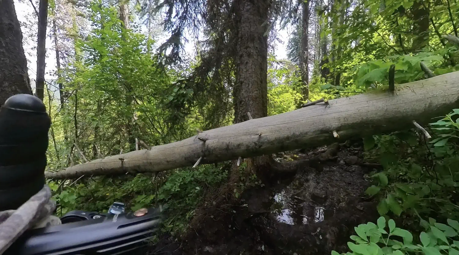
This section of the route had so many trees down across the road. I was able to ride over/around many of the trees. However, I was also extra cautious and walked across some to prevent any potential tire punctures. The last thing that I wanted to do was try to patch a tire puncture with frozen hands.
Random musings with JB 💬 🤔
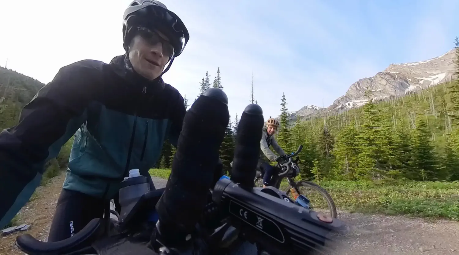
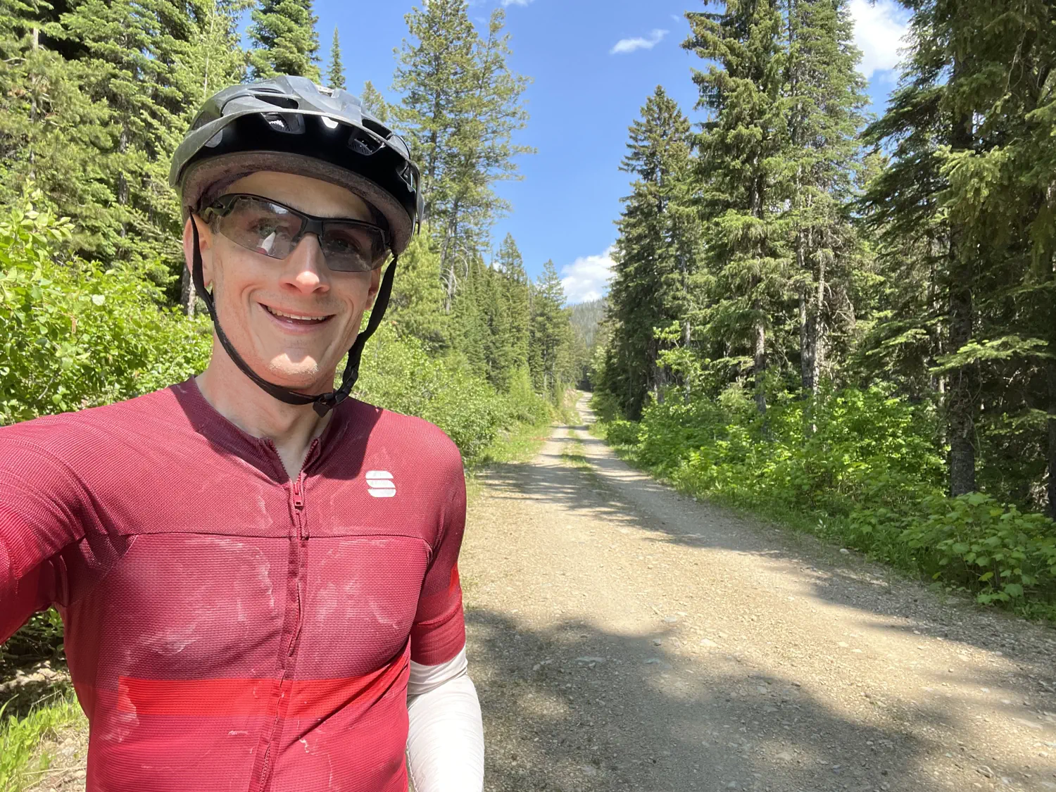
Jeremiah Baine (JB) caught up with me a short time later. We rode together for well over an hour, chit-chatting the entire time. We talked about so many random topics: motorhomes, where we each live, churches, favorite foods, etc. It was really nice to ride with JB for an extended period of time. It really helped pass the time while I waited for the temperature to warm up.
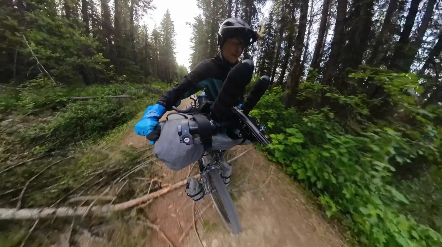
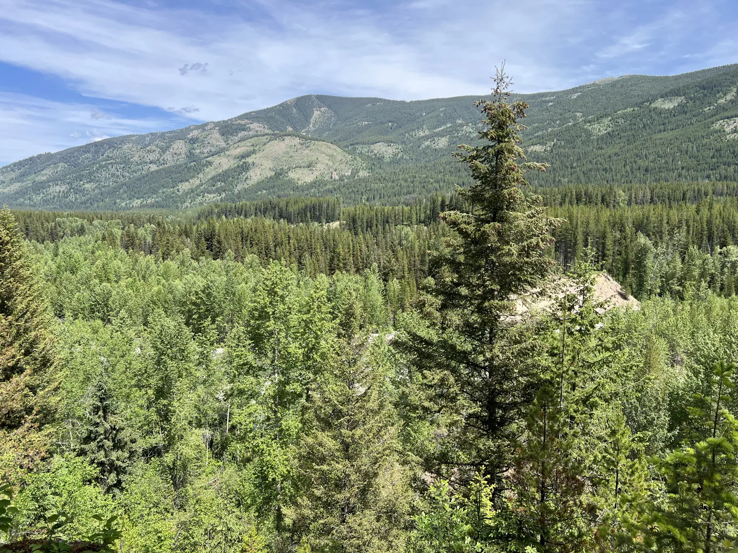
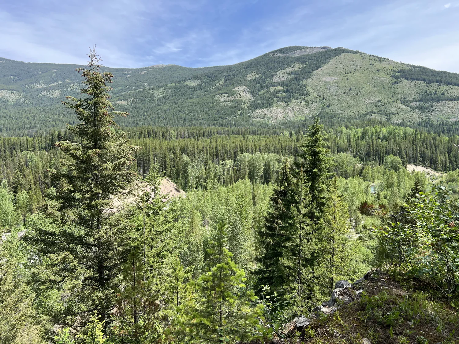
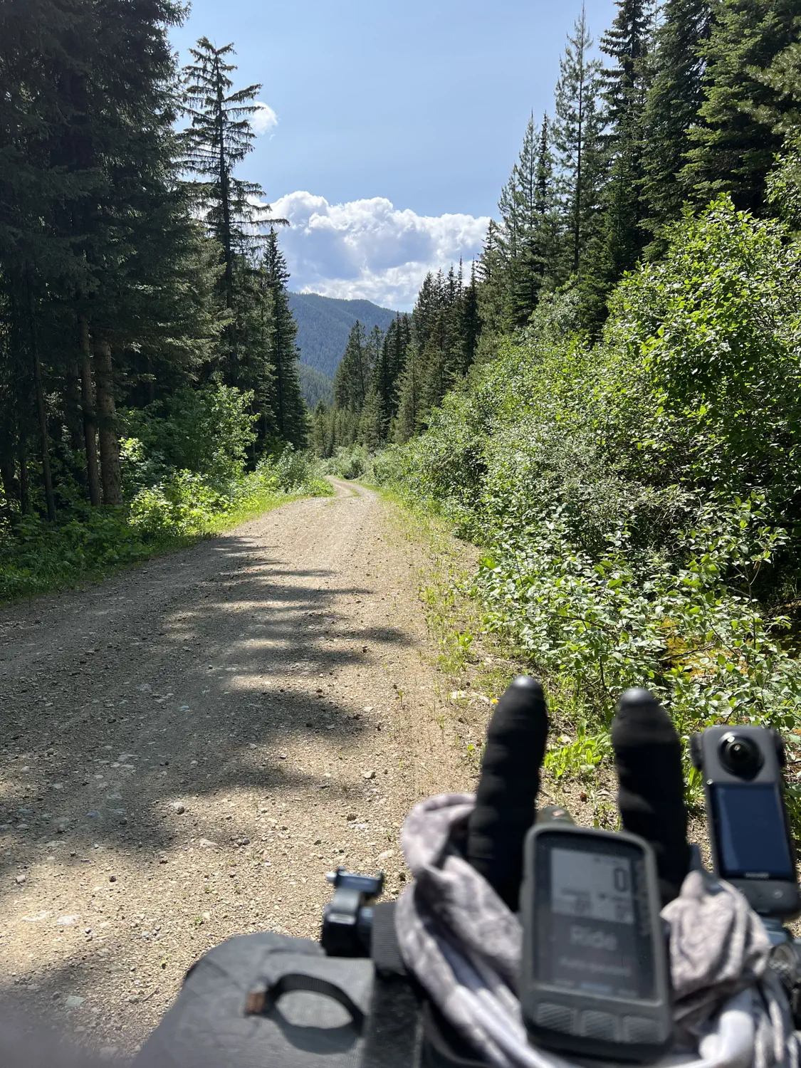
Massive, long gravel descent 🚀 ⬇️
After a couple of hours of pedaling, JB and I finally reached the first major descent of the day. JB had to stop to take care of a few things, and I kept riding. I was hoping that the sun would eventually warm things up so that I could stop to eat breakfast. I was starting to get hangry!!! 🤣 I also knew that JB would catch up to me again since I was planning to stop to eat.
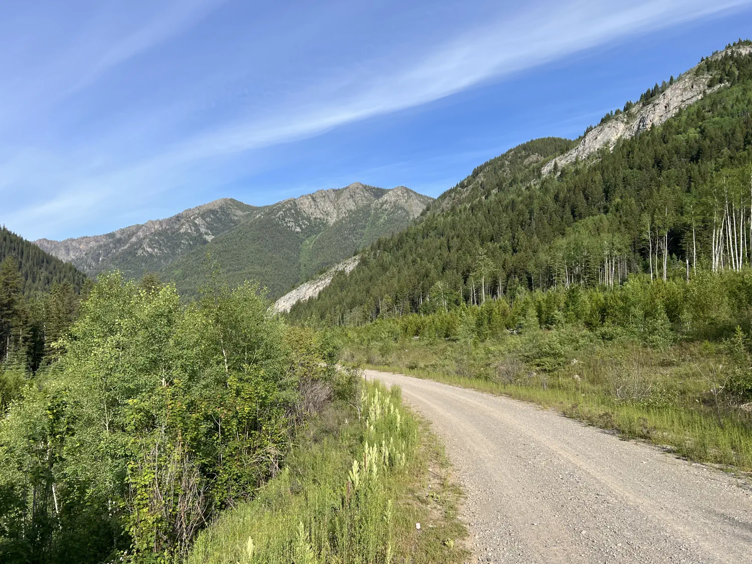
Gallery of the morning descent, looking for a warm spot to eat breakfast
This descent was fast and huge! I descended, with minimal braking, for nearly an hour before reaching the bottom. Partway down, I spied a huge, flat rock on the side of the road. It was the perfect spot to sit and enjoy some breakfast. So, I slammed on the brakes, came to a stop shortly after the rock, and walked back up to enjoy some delicious oatmeal.
Finding the perfect breakfast spot, and deep conversations 🪨 💭
The huge rock really was the perfect spot for breakfast. The sun was finally warming things up, I was surrounded by breathtaking mountain views, and this breakfast break gave me a chance to recharge some of my electronics using my power bank.
As I was getting my meal ready, JB caught up with me. He also decided to stop here to eat breakfast. At this point in the race, I was still cold-soaking my meals, so I had a container full of protein-infused, berry oatmeal to eat. 😋 JB, being the more experienced racer, had purchased two egg and cheese breakfast sandwiches from a shop in Fernie, BC. I would eventually learn from JB and other racers to ditch my cold-soaking kit, but I wasn't quite ready to yet.
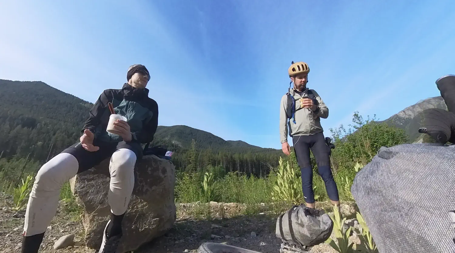
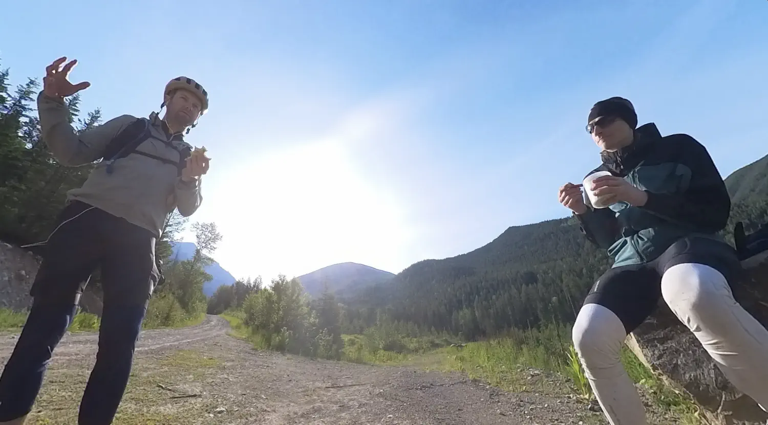
Gallery of my breakfast with JB, and our deep conversations
JB and I ate breakfast together and started chatting again... I didn't realize that I had left my Insta360 X3 360° camera on and recording. However, I am really glad that I did. JB has ridden several ultra-endurance races before. However, he was shocked to learn that the 2025 Tour Divide was my first-ever ultra-endurance race. 🤯 JB also talked about the physical and emotional impacts that events such as the Tour Divide leave on you. Specifically, how it makes you look at life differently at the end. I am really glad that I was able to capture this conversation on video. It brings me back to that moment every time I watch it!
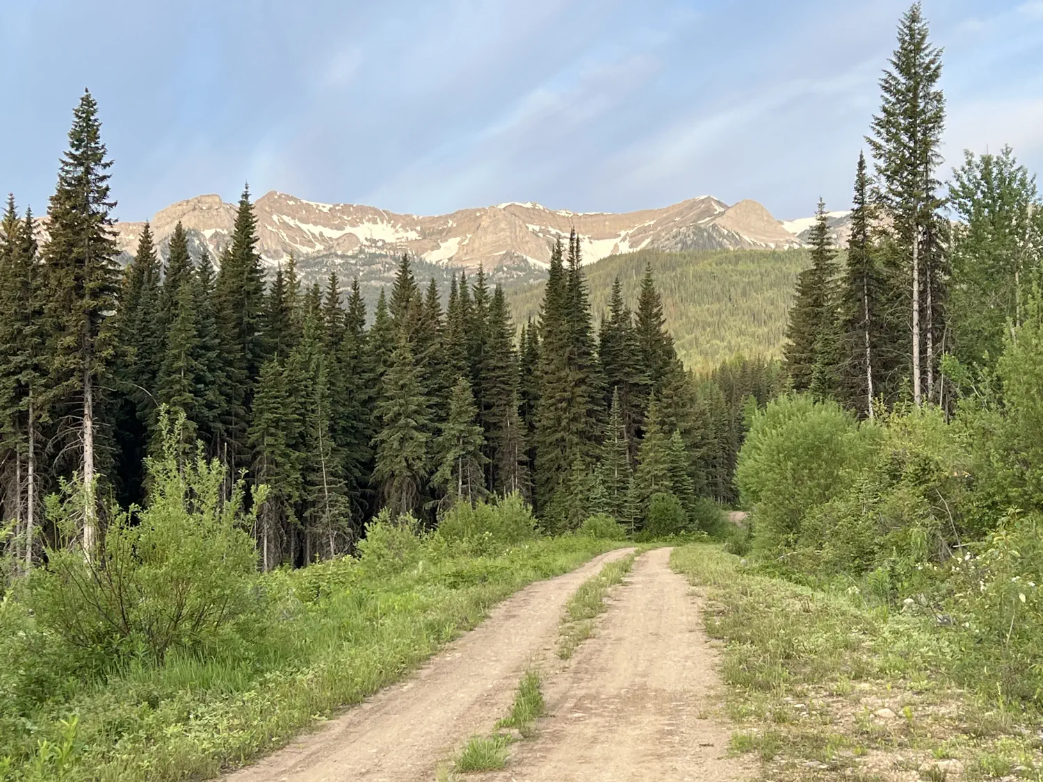
Math is hard! 🧠 ➕
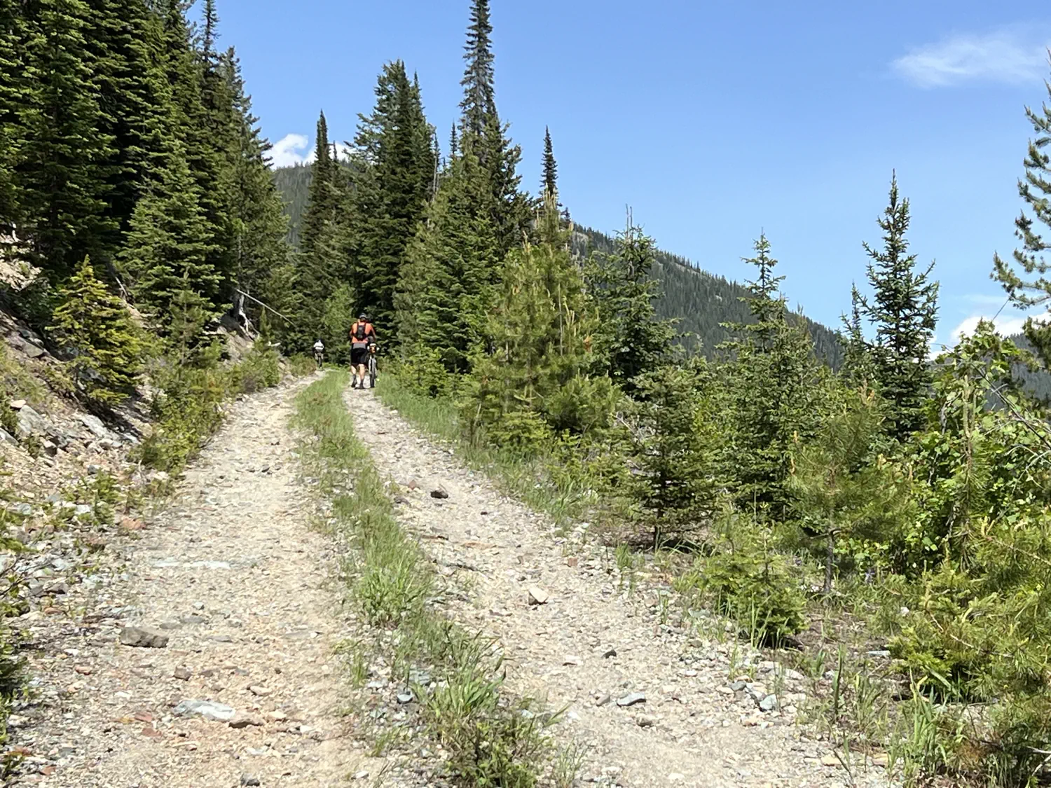
After breakfast, I was back to riding mostly by myself again. I did manage to catch up with a few other racers for short periods, but that was about it. This section of the trail had so many low-clearance trees. I tried my best to avoid them, but I lost count of how many times I got smacked in the face by a tree branch. 🤕
I also knew I would be climbing for an extended period of time as I made my way to "The Wall". I tried to use my Wahoo Elemnt Roam to determine how much climbing, and over what distance, I had to look forward to. However, for some reason, my brain wasn't working.
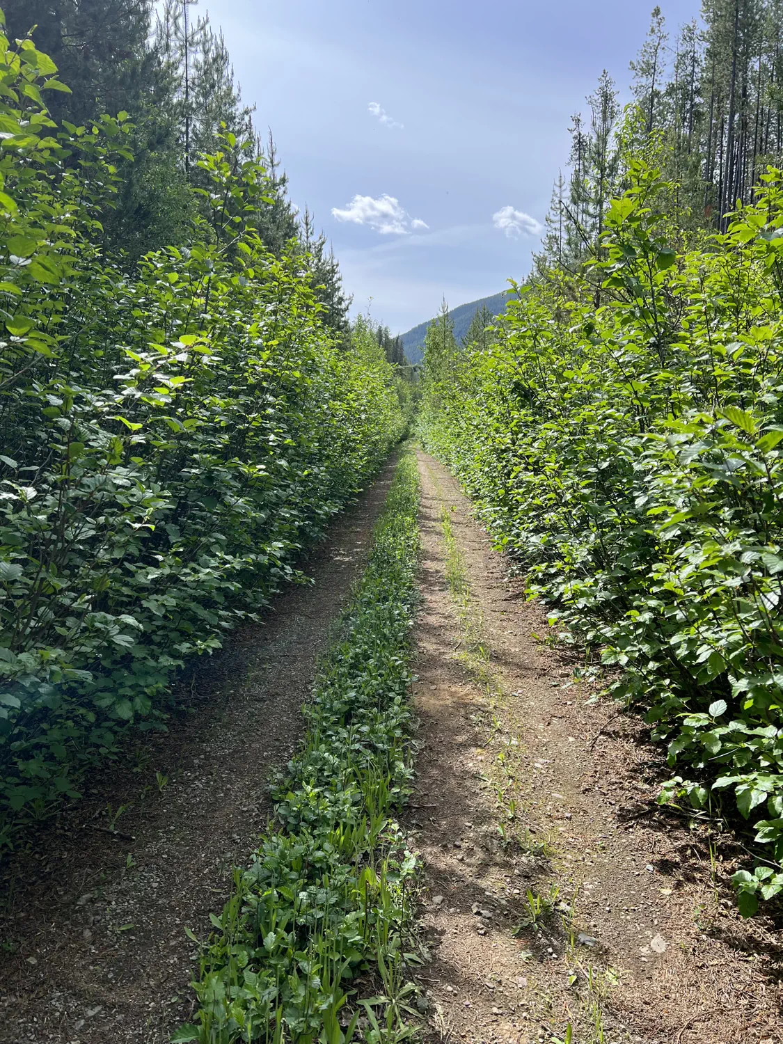
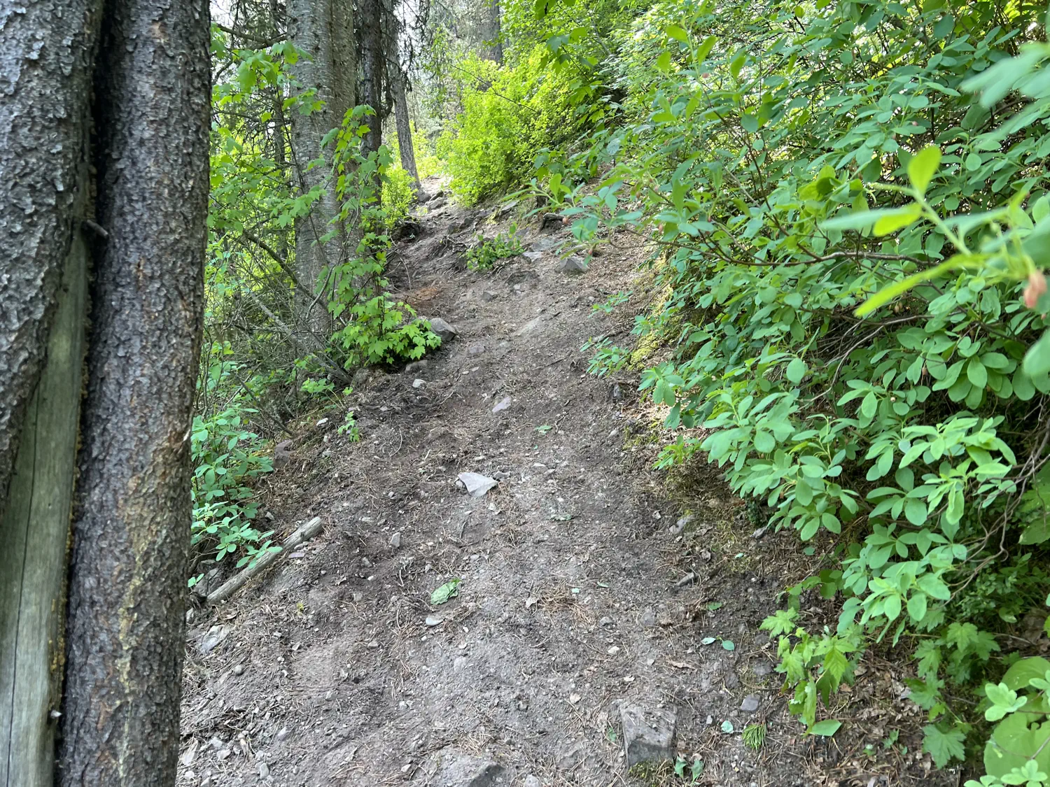
Gallery of the tree-lined doubletrack trail leading to "The Wall"
I couldn't seem to do simple math. 🤦♂️ I first thought that I had 3,300 feet (1,006 meters) of climbing... then I thought that I had only 500 feet (152 meters)... then I finally got my brain to work. I calculated that I had 2,100 feet (640 meters) of climbing over the next 10 miles (16 kilometers). It was weird that I had so much trouble since I had successfully done this same mental math exercise hundreds of times while training.
Singletrack toward "The Wall" 😨 🐻
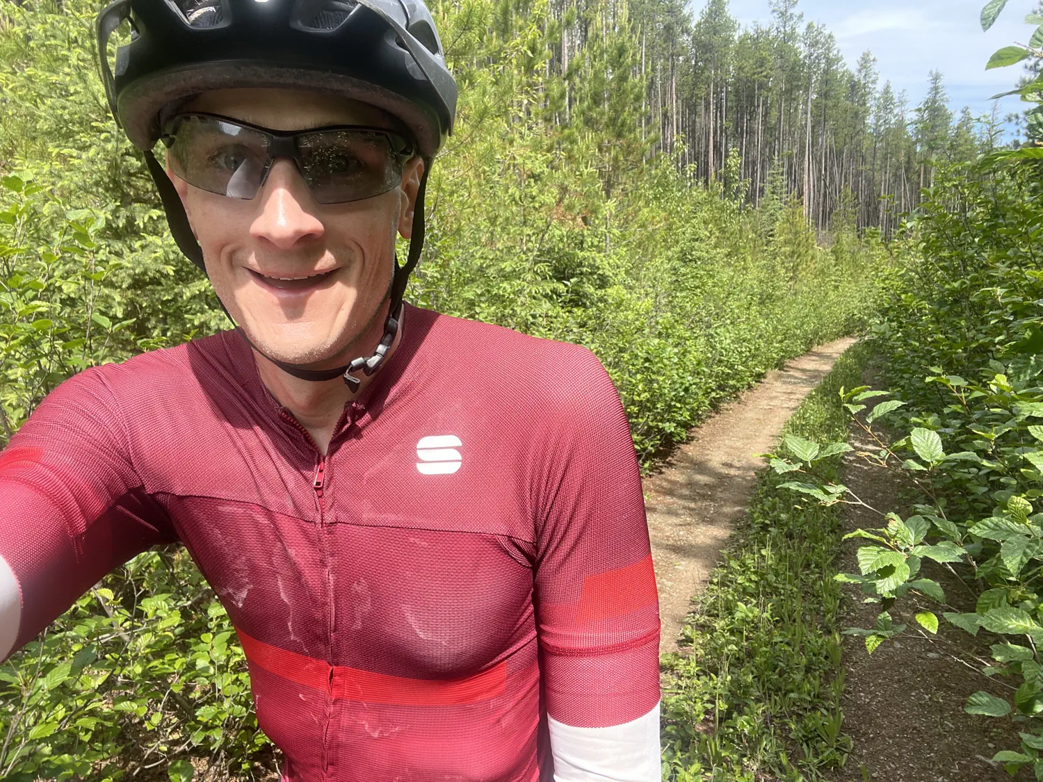
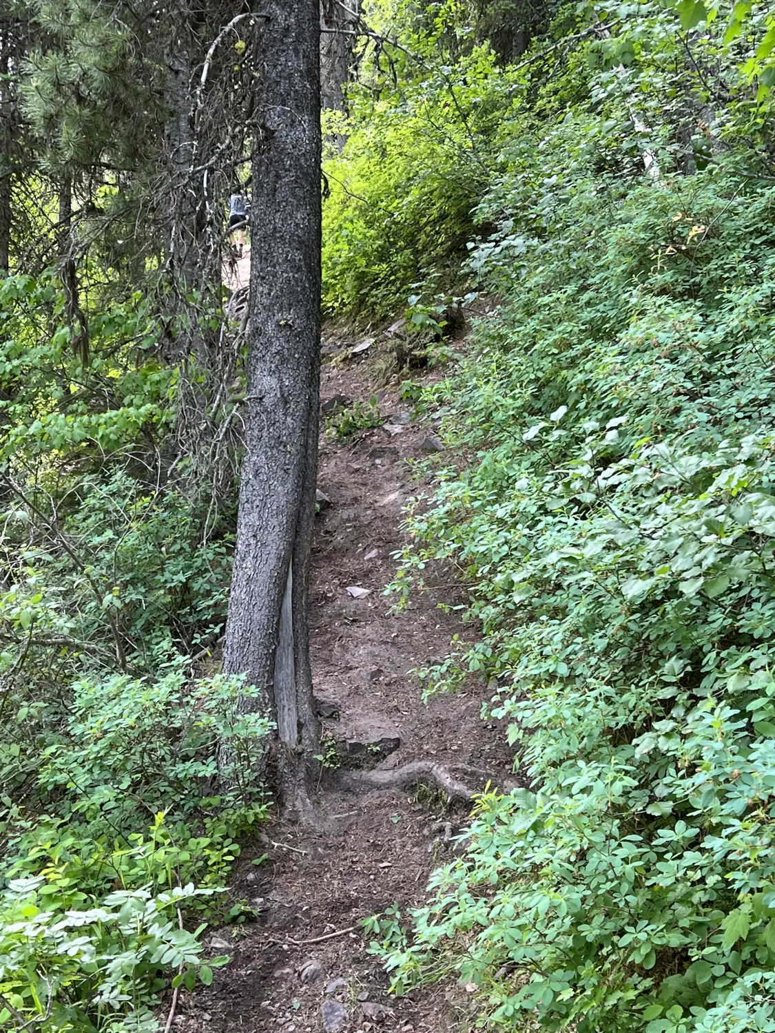
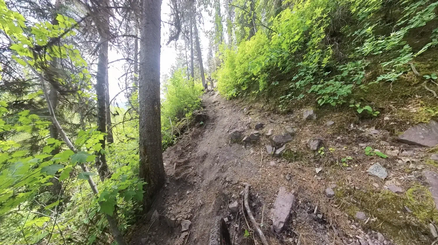
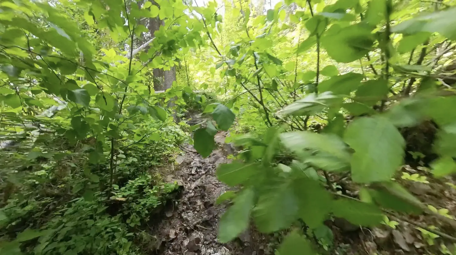
Eventually, the doubletrack trail I had been riding narrowed down to singletrack. This was a sign that I was approaching The Wall. I was excited to be back on singletrack again, but I was also nervous about how difficult The Wall might actually be.
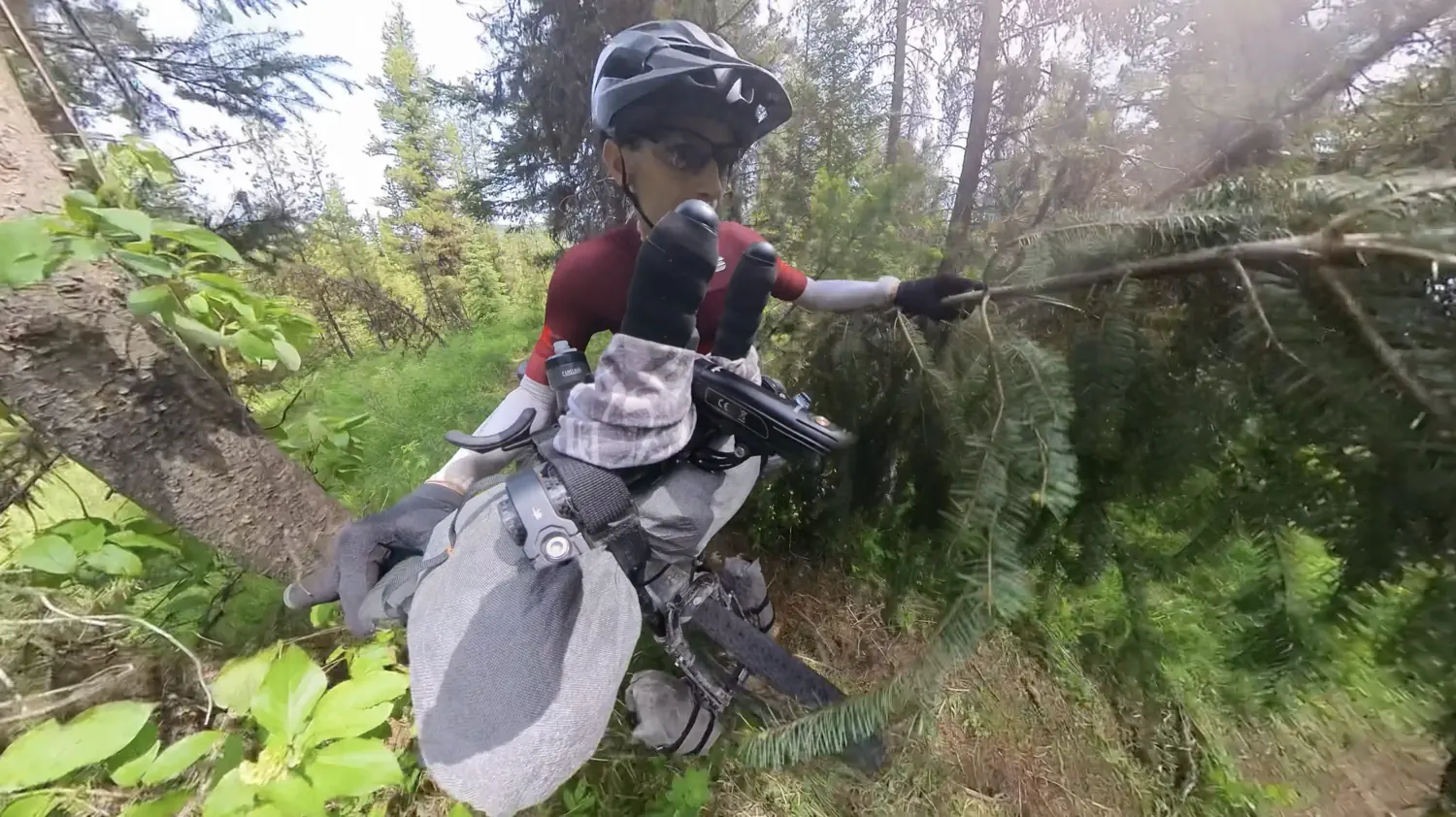
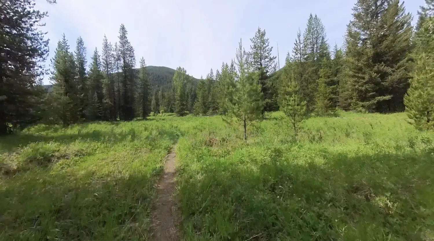
Gallery of singletrack leading toward "The Wall"
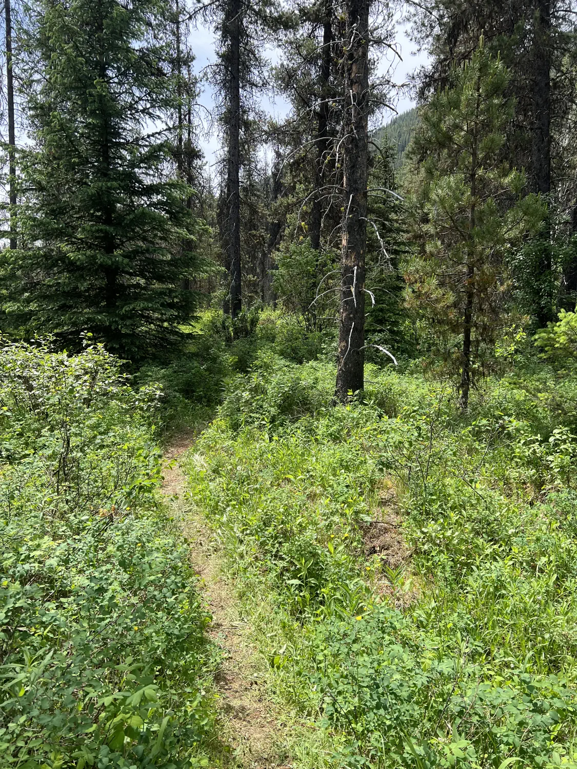
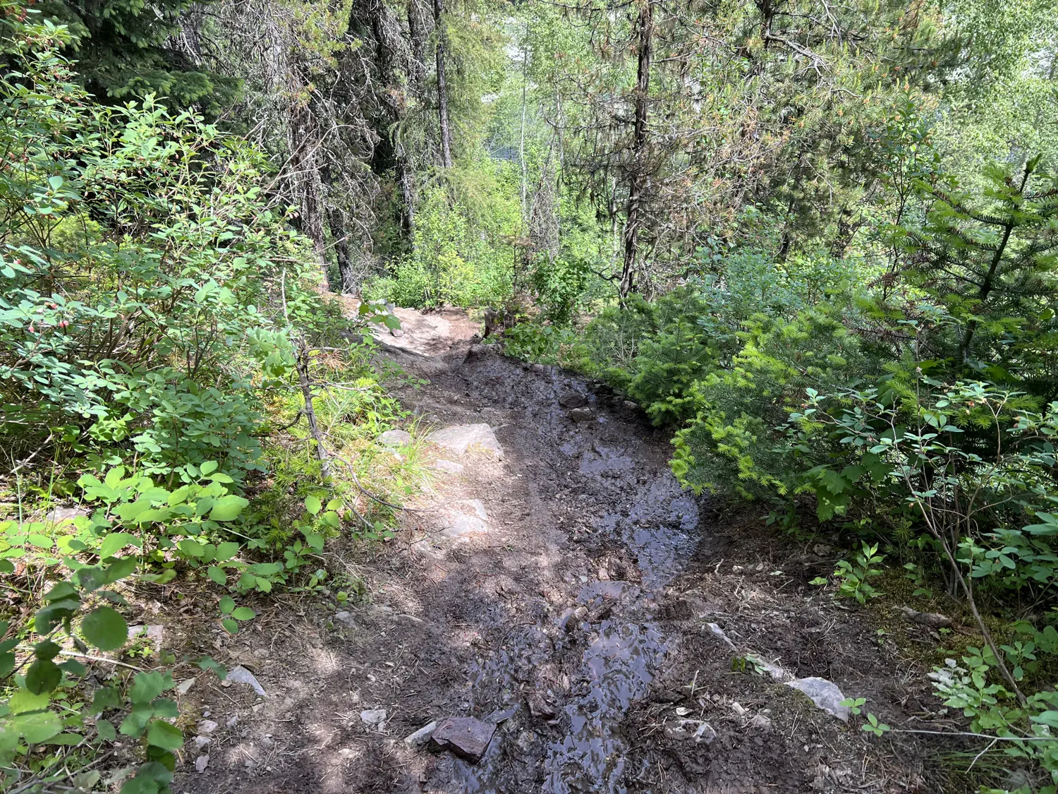
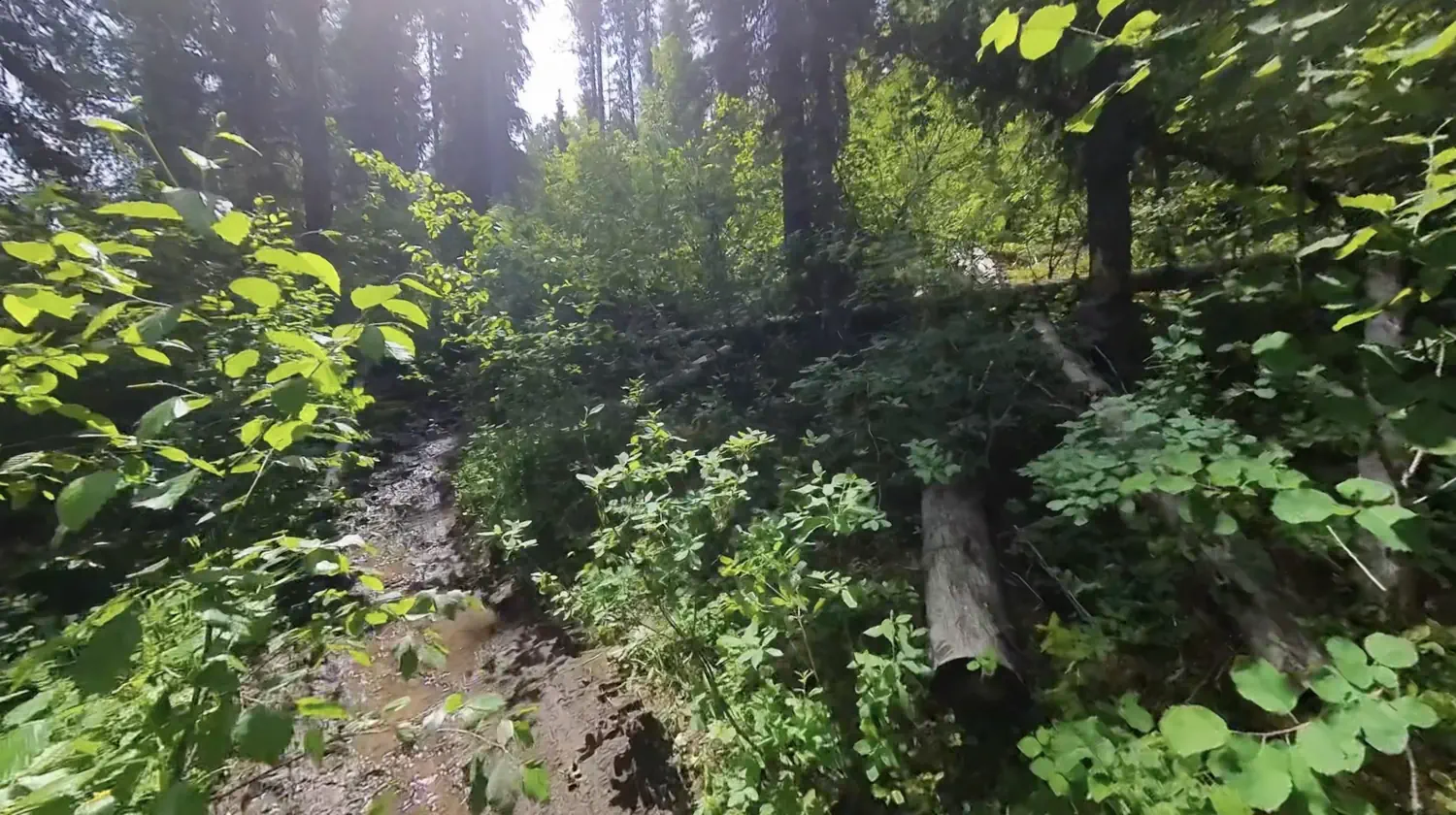
The first section of singletrack passed through a beautiful, grassy area, dotted with fir trees. I turned on my bear bell since this seemed like the perfect place to spot a bear or a moose. 🔔 As I ventured deeper, the singletrack became less and less ridable. It was often deeply rutted and/or had trees down across it. So, I was doing a mix of hiking and riding.
Closer to The Wall, the trail became severely flooded. So much so that I was forced to walk the remainder of this section. My shoes and feet got wet from several deeper stream crossings along the way. Thankfully, it wasn't too difficult to push my bike through.
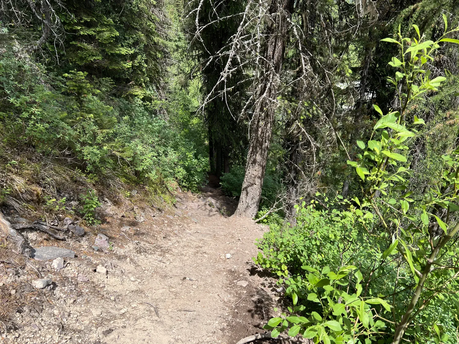
The trail finally started to dry out again as I began paralleling the river's edge. This section was technically ridable, but the panniers on my bike kept bumping into tree trunks and rocks. Also, there was a small drop on the left-hand side, which was a little scary, so I decided to walk this section as well. I kept pushing and bushwacking, along the river's edge until all of a sudden, there it was, The Wall!
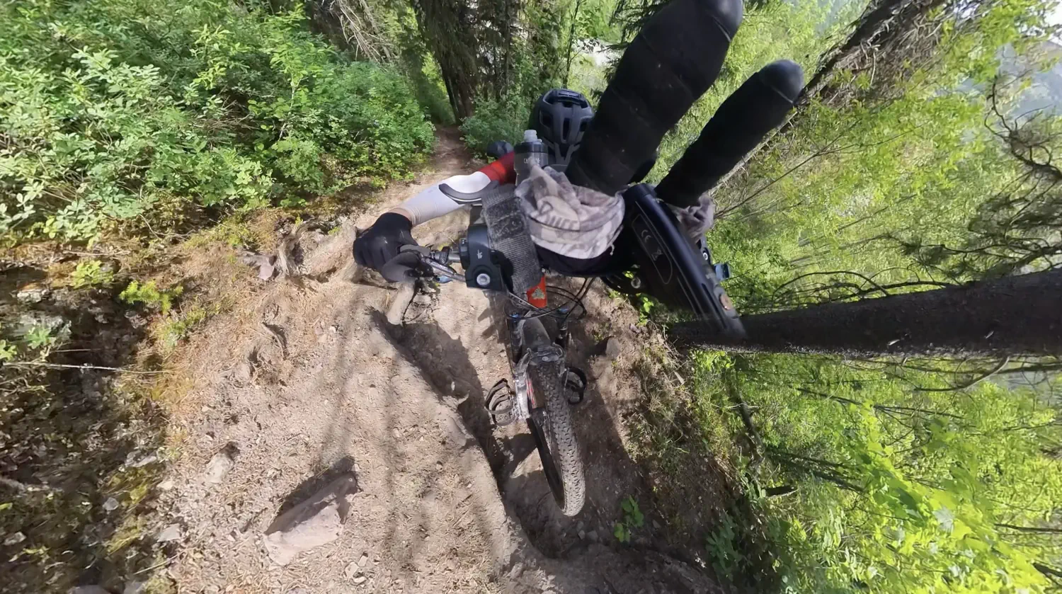
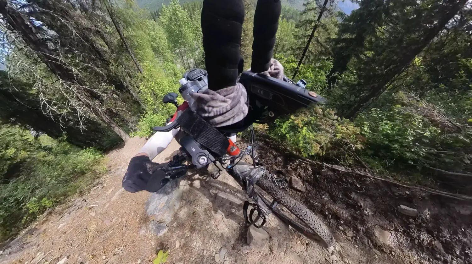
Tackling "The Wall" ⬆️ 😟
The Wall was waaayyyy more difficult than I had expected!!! 😓 I had watched so many videos of other racers struggling to get up The Wall. I should have known better than to think that I would somehow be able to scale this obstacle easier than they could.
⚠️ I should note that The Wall is a full-commitment obstacle. There is really no safe or easy way to back down once you get started. The incredibly steep obstacle is flanked by a near cliff edge on the left-hand side. So, as you progress, you must carefully watch your footing. You must also cautiously control the bike brakes to prevent it from dragging you off the edge.
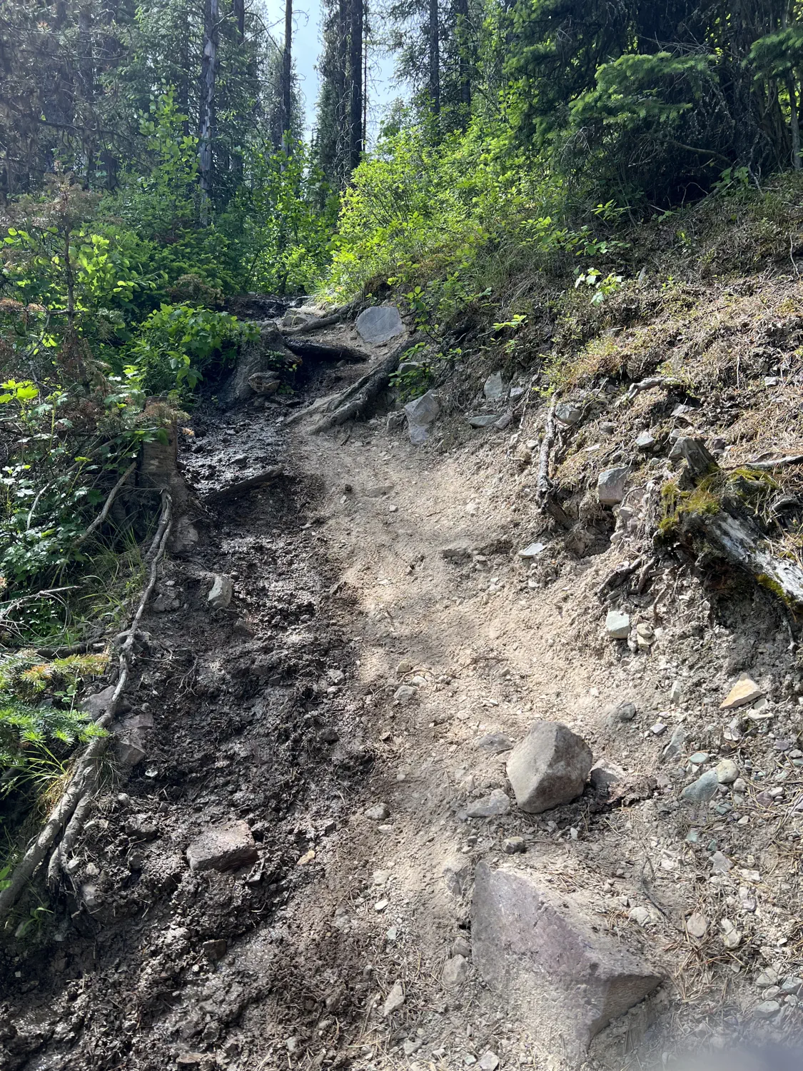
Gallery of the various incredibly steep sections of "The Wall"
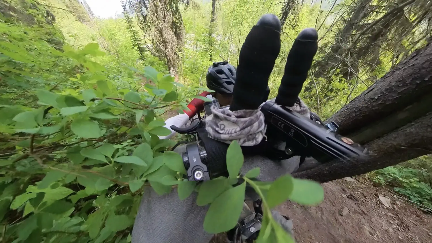
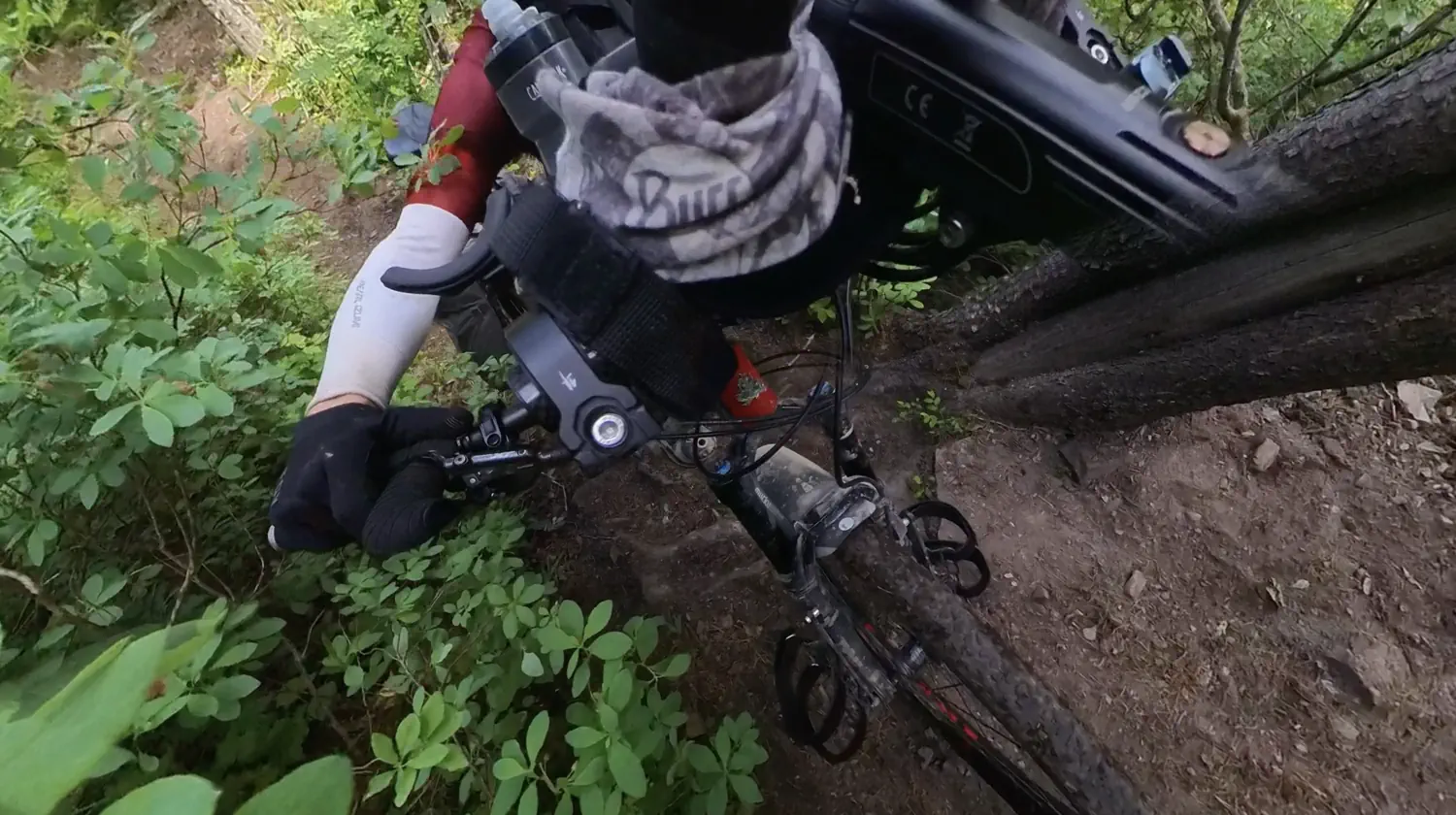
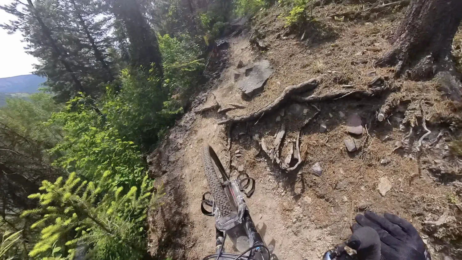
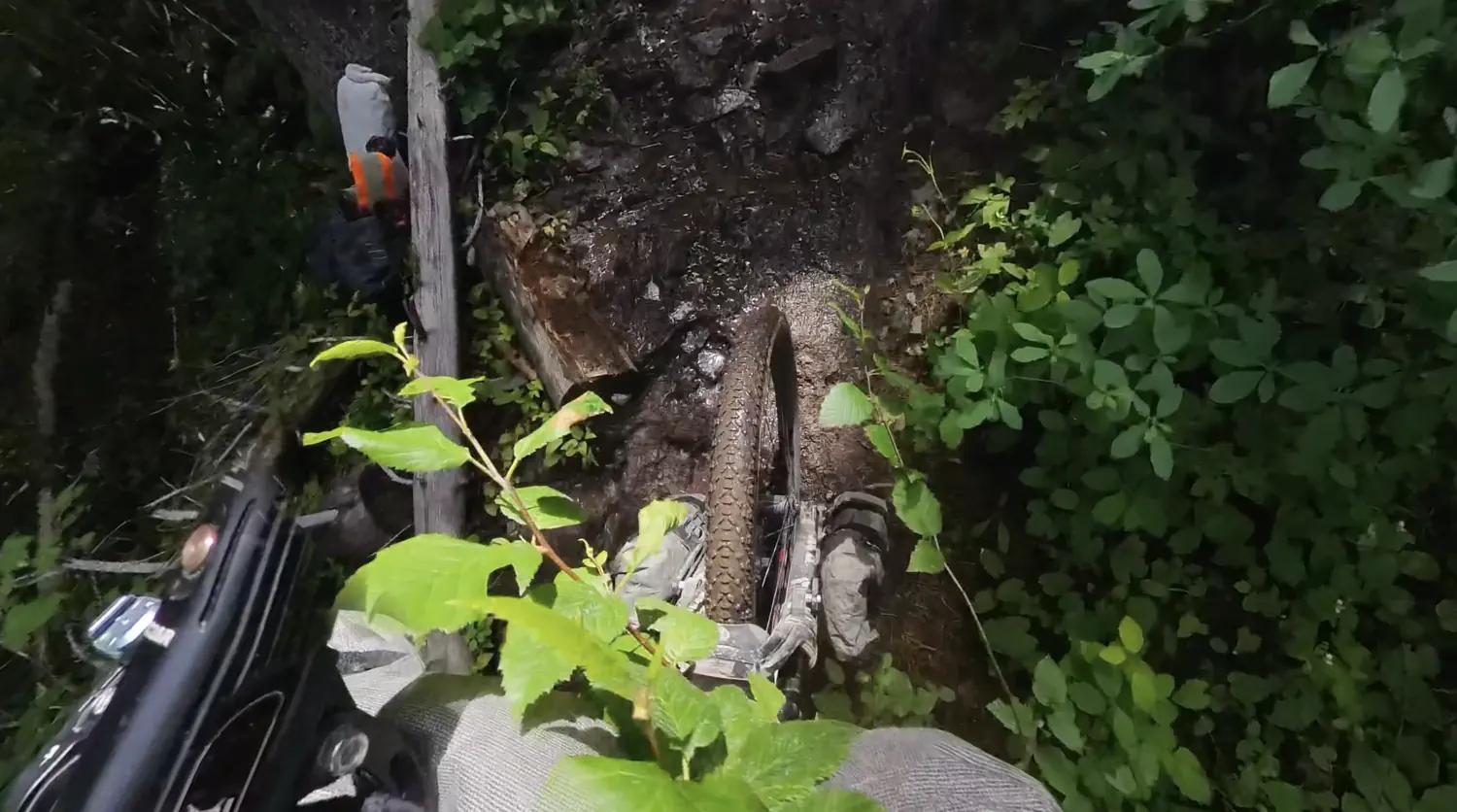
The extreme steepness of the wall is further complicated by several tree roots that have created 12-18 inch (30.5-46 centimeter) stair steps. You are forced to lift your bike up and over these root sections, which is incredibly challenging. For me, the tree roots created the most trouble. I struggled to find the upper-body strength to lift my heavy bikepacking bike when standing at such awkward angles, also trying not to let go of the brake levers.
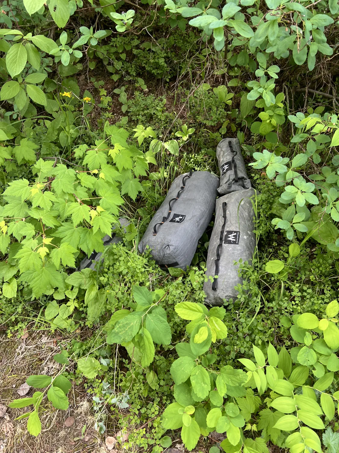
I first tried to scale The Wall with my bike fully loaded. That was a mistake! I only made it about 10 feet (3 meters) up the climb before the bike started dragging me backward. So, I removed as many of my bikepacking bags and as much excess weight as I could before trying again. Unfortunately, I had cable-tied the panniers to the rear rack, so I was not able to remove them, and I didn't want to dump all of the contents onto the trail. So, those had to stay on the bike, which added a significant amount of weight to the rear end.
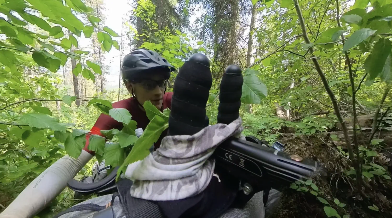
Gallery of Keith scaling "The Wall"; the steepest, most difficult hike-a-bike he has ever faced! 😨
I struggled all the way up The Wall. It was everything that I could do to push my bike up and over the rocks, roots, and stairsteps throughout. Twice, I almost lost footing, which would have been catastrophic for my bike and potentially me. 😨 Toward the top, a small stream of water created a muddy footpath, which further added to the overall difficulty.
Eventually, I made it to the top! 😅 However, "The Wall" was not done with me yet...
Even the top of "The Wall" is difficult 💦 💪
I still had to walk back down this beast to retrieve the bikepacking bags that I had removed from my bike. I then had to re-climb The Wall, carrying all of those bags. Once back at the top, I reattached all the bags to my bike. I then began pushing my bike through the muddy, swamp-like trail.
Gallery of the upper section of "The Wall", which was wet, muddy, and littered with downed trees
The trail was littered with low-clearance tree crossings in which I had to more or less slide my bike sideways under them. This is a very difficult maneuver with a fully loaded bike! After pushing for about 10 more minutes, I finally arrived at a clearing with a magnificent view of the valley and river below me. 😍
Gallery of the beautiful clearing at the end of "The Wall"
I was so relieved to be done with The Wall! 🙌 This is one obstacle that truly deserves its name. I took about a 5-minute break at this point to regroup and prepare for the gravel roads ahead. I also ate a few sugary snacks to try to recover some of the energy that I had expended.
Oh, and the Insta360 X3 screen was really looking funky at this point. I could only hope that the recording feature was still working. 🤞
Hey, bear! Hey, bear!... I mean "Hey, cat" 🦁 😱
I was finally riding again! It felt so good to be making forward progress after I had struggled so much on The Wall. I was riding along a somewhat narrow doubletrack trail, heavily lined with trees and bushes, so peripheral visibility was limited.
All of a sudden, I saw a huge, cat-like creature emerge onto the trail and start walking in the same direction that I was traveling. It turned out to be a massive mountain lion! 🦁 I froze in my tracks to not startle the beast. I tried to get some photos and video with my phone, but I was only able to capture a grainy, bigfoot-style video of it (shown below).
Grainy video of the mountain lion that I encountered.
The mountain lion eventually ducked back off the trail. This was good, but now I didn't know where it went. I wasn't sure if it was doubling back toward me or if it was heading up the mountainside. I was too nervous to start moving forward again, so I just stood there for a few minutes. Eventually, I deployed my bear spray canister in case the mountain lion attacked me. I also started shouting "hey, bear!" over and over to try to scare the animal away and let it know that I was passing through. I should have been shouting, "Hey, cat!" 🤣
Finally, I started moving forward, slowly. I never did see the mountain lion again. I was super nervous for a few minutes, though, and I eventually sprinted through this section to get away from it. 🏃
Running low on water on Galton Pass 🪣 🪫
I had finally reached Galton Pass, the last major climb before the descent toward the USA border. Galton Pass was very steep in sections and required hike-a-bike several times. I thought that I had plenty of water before starting this pass, 3 bike bottles, but I had clearly underestimated the heat and difficulty of this climb.
I was less than halfway up when I started running low on water. I had passed on an opportunity to get more water from a stream a few miles back. 🤦 That was definitely a rookie mistake on my part. I wasn't sure if I would find any more available water until I reached the USA border, which was still several hours away.
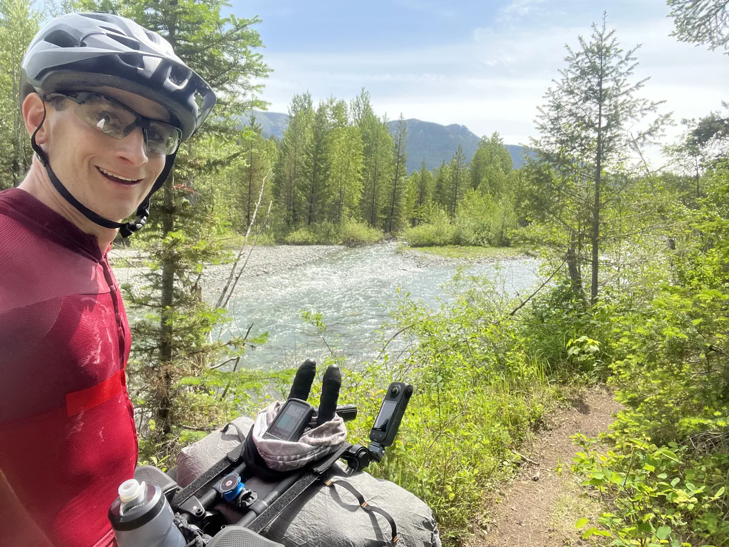
Thankfully, as I continued the climb, I heard running water and managed to locate an easily accessible riverbank. I found a nice spot near the river's edge to stop for lunch. While I was there, I ate the second burrito I had bought in Fernie, BC, I cooled my body in the river, and I drank over 3 liters of water!!! I must have been more dehydrated than I had realized. I also cleaned all the mud from my shoes and feet, remnants from The Wall.
After a nice lunch break, it was time to get moving again. I still had 5 more miles (8 kilometers) of climbing to do.
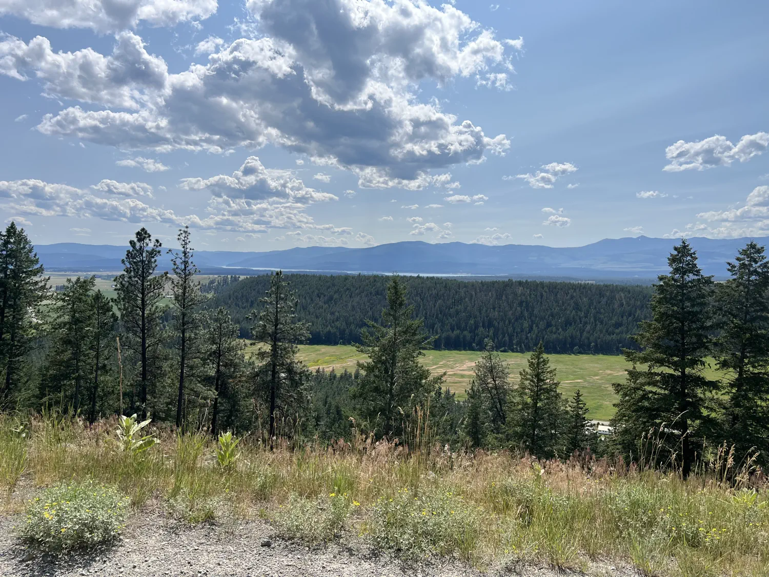
Massive descent toward the USA border 🚀 🇺🇸
The back side of Galton Pass was a ridiculously steep gravel descent. It was so steep that I had to stop twice to keep from overheating my brakes. The descent was incredibly fun while also tiring, as I was constantly working the brake levers and trying to avoid loose rocks.
Gallery of Keith descending Galton Pass, on his way to the Canada/USA border crossing in Roosville, MT
Video of Keith looking down on the valley below Galton Pass
About halfway down the descent, I could start to feel waves of heat being blown up the mountainside from the valley floor. 🥵 This experience foreshadowed the high heat that I would be facing the rest of the day. After a very long and fast descent, I finally made it off the pass and onto a paved road again. It was wild to look back at the mountain that I had just crossed. 😮
Crossing the border at Roosville, MT 🦃 🛃
So there I was, 1 kilometer (0.6 miles) from the Canada/USA border crossing in Roosville, Montana. It felt so surreal to actually see this border crossing in person. Just a couple of days ago, this place felt like it was a million miles away.
Even though I was on a bike, I was still required to wait in line with the rest of the vehicles crossing the border. Thankfully, the line wasn't very long on this day. It was very hot, though, especially standing still on the black pavement next to several running vehicles. While I was waiting, I was entertained by a wild turkey that was just hanging out in the road. 🦃
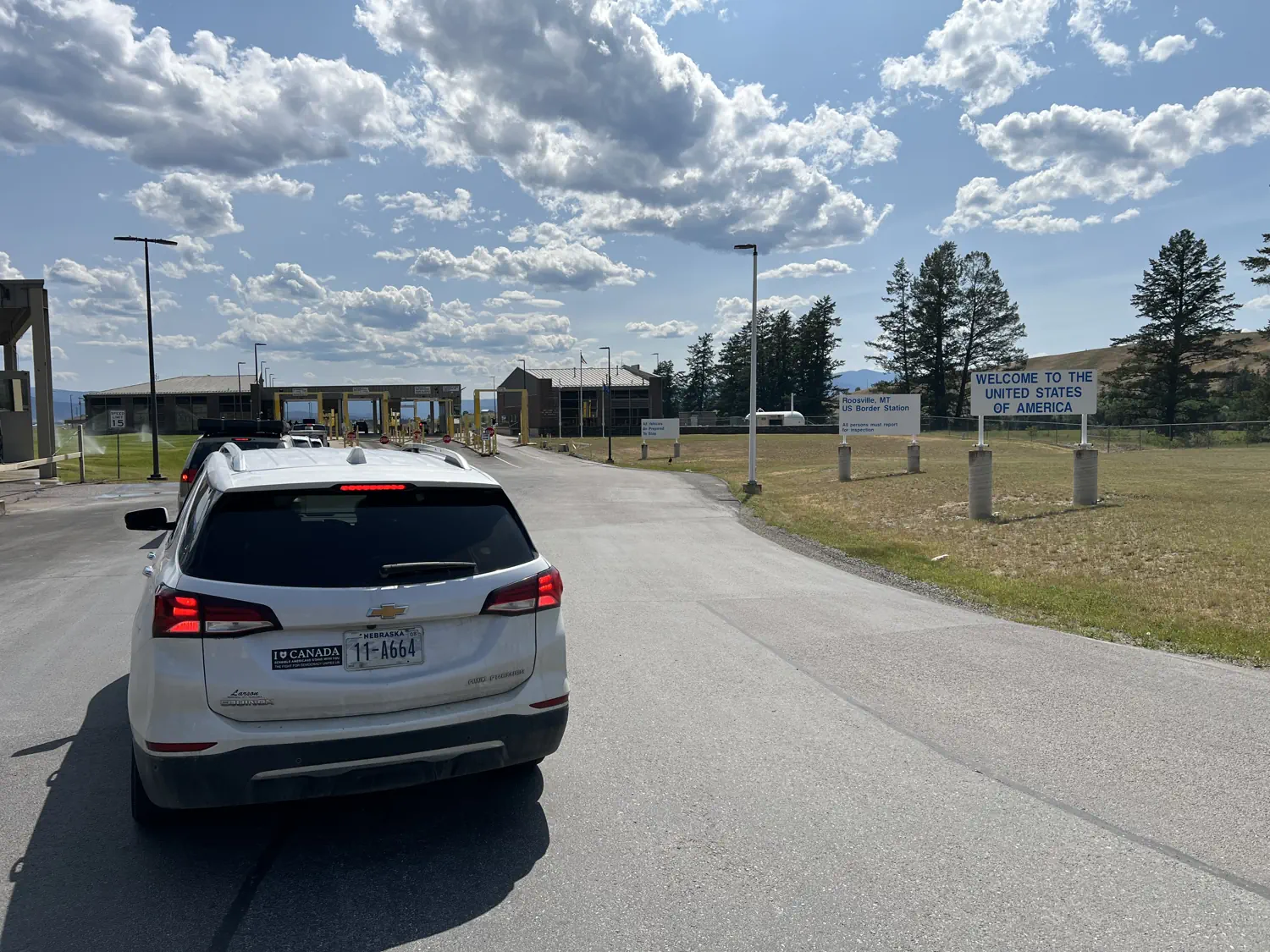
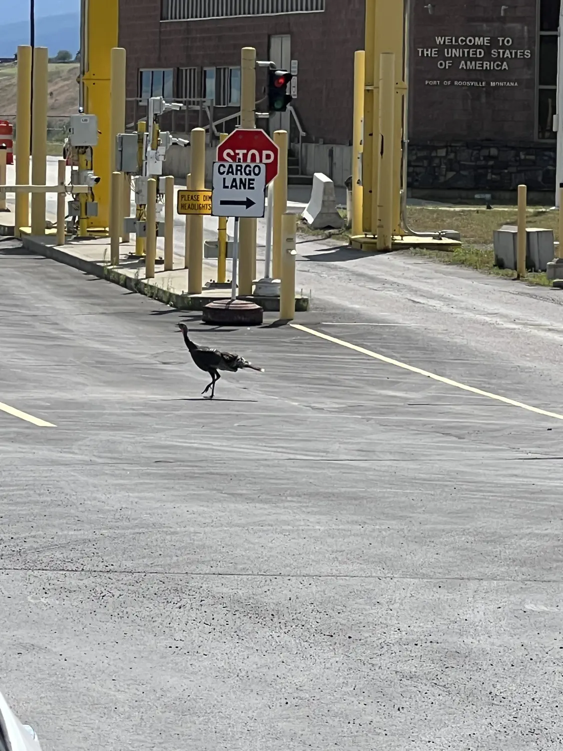
Gallery of Keith waiting to cross the Canada/USA border at Roosville, MT, and the random turkey! 🦃
Eventually, it was my turn to ride up to the border crossing office. I wasn't sure what to expect due to the recent political issues occurring between the USA and Canada. Lindsey and I had talked to some other racers while we were in Banff, AB, and they told us that what happens at the border crossing really depends on the agent that you get. Some agents ask a few questions, verify your passport, and then let you move on. Others, though, may grill you about your political views and may insist on searching your phone and/or vehicle.
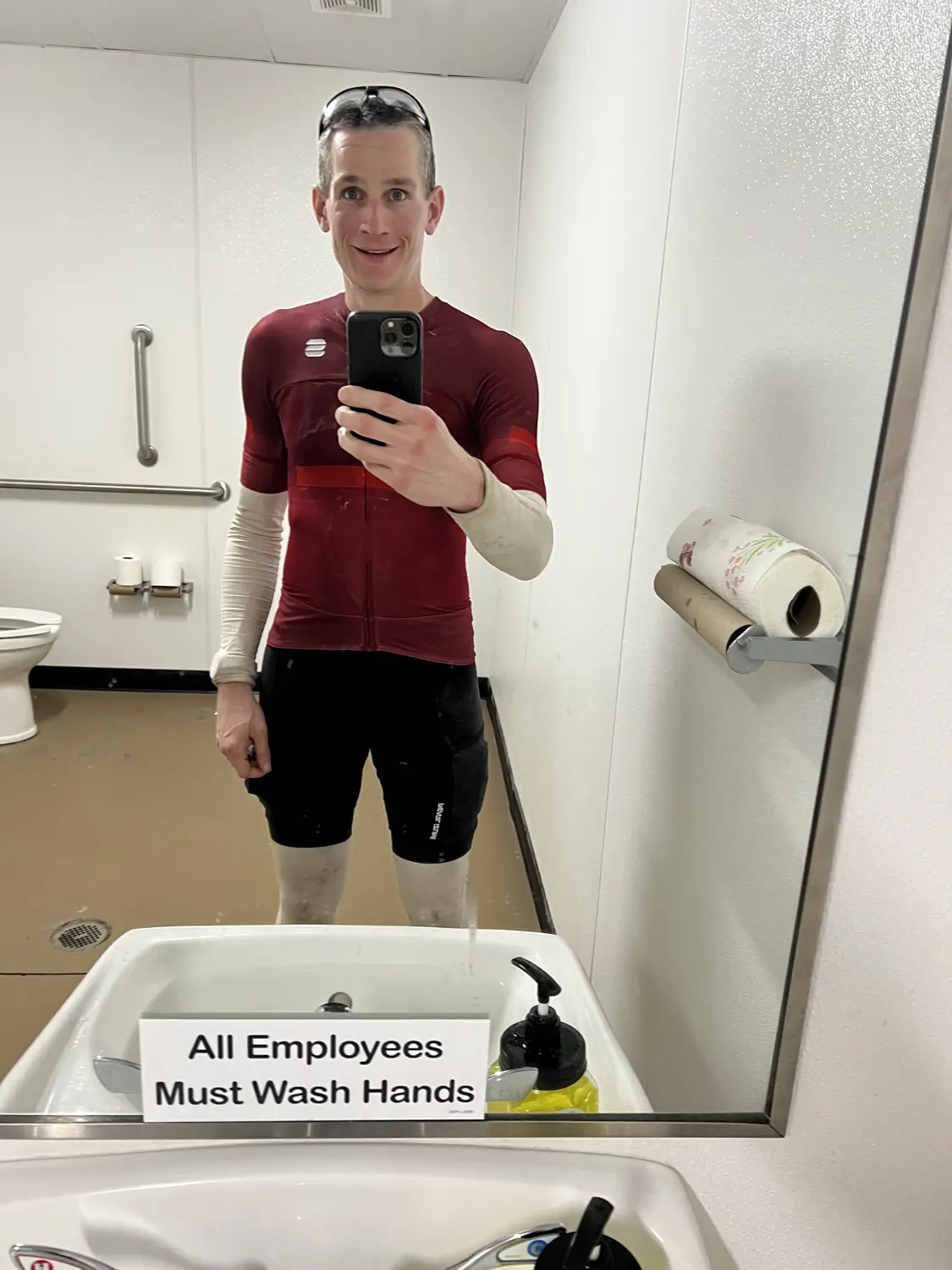
Luckily, the border agent that I met with was a super nice guy. He asked me a few standard questions, then asked a few more about my experience racing the Tour Divide so far. He verified my passport, then showed me where I could use the restroom, refill water, buy some snacks, and rest in the shade. He then told me how incredible it was that people like me can take on such insurmountable adventures, such as this. Finally, he smiled and waved me through. I said "THANKS!" and then headed to the restroom to clean myself up a bit, get some fresh water, and rest for a few minutes in the shade.
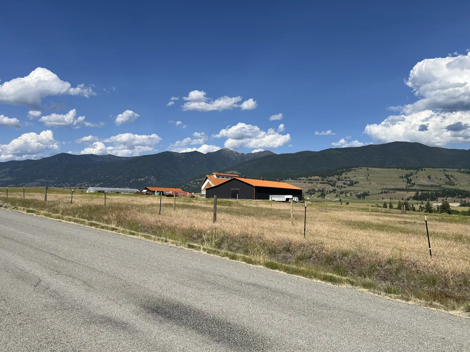
Back in the USA and heading to Eureka, MT 🇺🇸 🥳
After a brief rest at the border crossing, I hopped back on my bike and started making my way to the town of Eureka, Montana. Eureka is the first town with all services (e.g., food, hotels, etc.) after crossing into the USA. I had initially planned to get a hotel in Eureka, but it was still early in the day, and I would have only ridden about 70 miles (112.7 kilometers) at that point, which was well below my 100-mile (161-kilometer) daily target.
The road to Eureka was smooth and full of rolling hills. I was able to lie out in my aero bars for most of the miles, which really helped to relax my tired arms and back. I also had my first encounter with Montana drivers. I had been warned that Montana drivers don't respect bicyclists on the roads, and they were right. 😔
The first driver that passed me gave me absolutely no room on a road that had basically no shoulder. I could have easily reached out and touched their car. It made no sense to me since my bike and their car were the only two vehicles on the roadway. 🙃 Not all Montana drivers were like this, but unfortunately, I witnessed this type of behavior more often than not.
Rest and recovery time in Eureka, MT 😴 🍽️
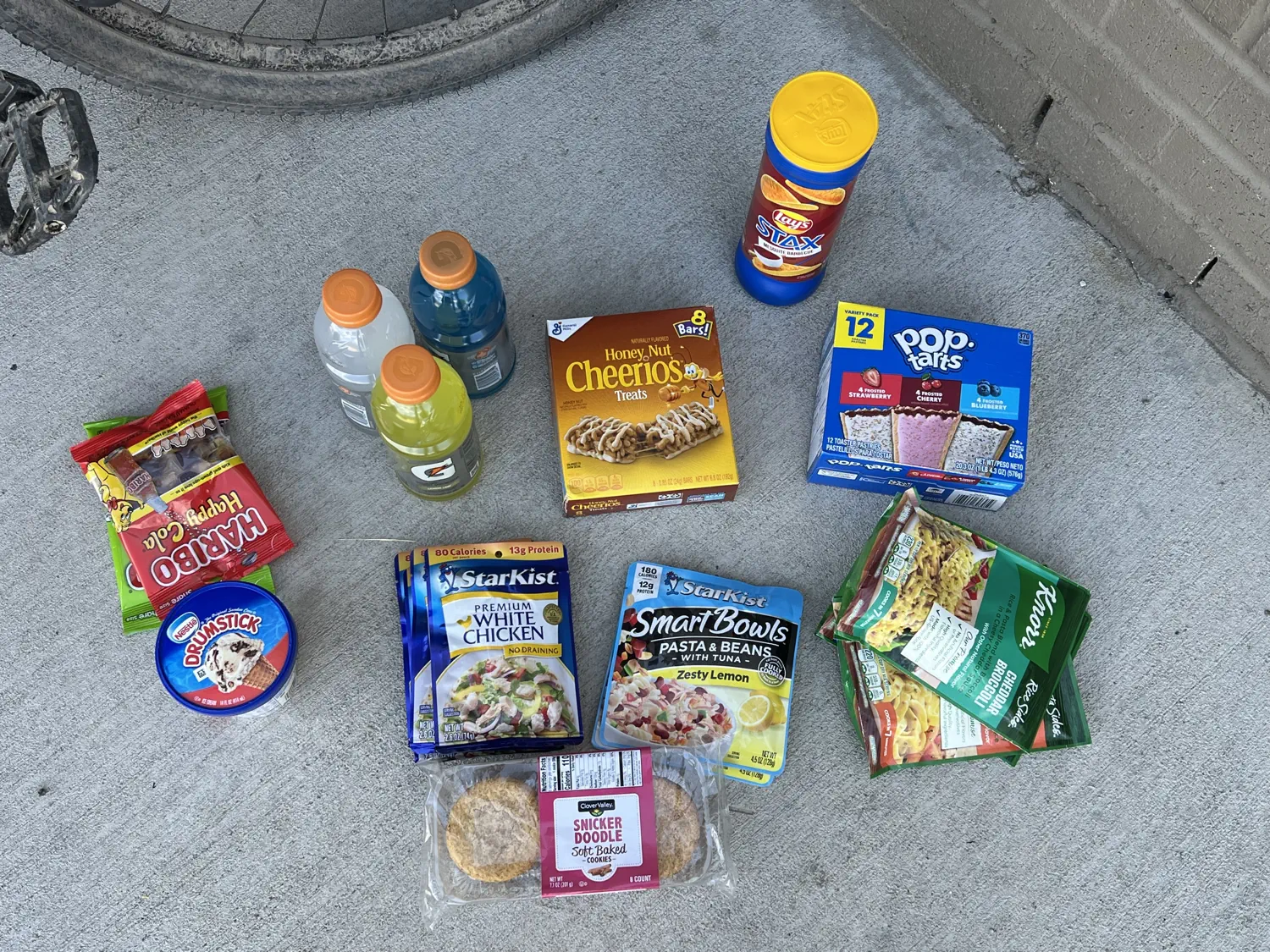
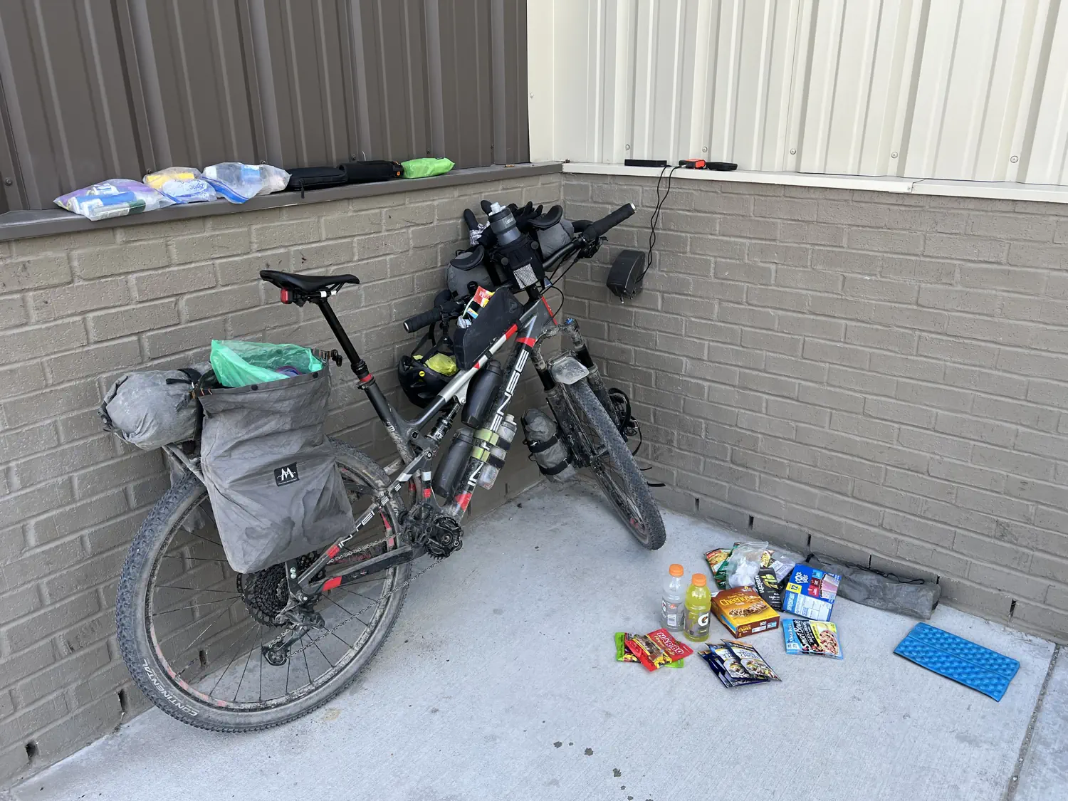
It was incredibly hot in this valley, so I knew that I would at least be taking a break for a few hours in Eureka, MT, to let the temperatures cool down before heading back out. I made my way to the Dollar General store and proceeded to purchase every sugary and salty snack that I could find! 🤤 I only needed to buy some snacks and food for one night, but I was starving and started cramming as many calories into my body as I could. I literally crumbled a six-pack of cookies into a pint of ice cream and ate the entire pint as an "appetizer" for my dinner.
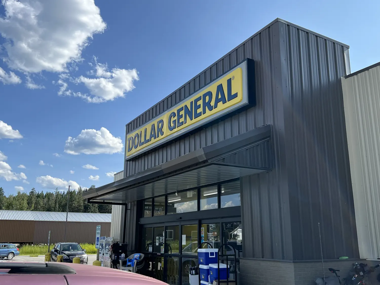
Gallery of the Dollar General store where Keith rested and resupplied while waiting for the temperature to cool
While I was there, I asked the store manager if I could set up my tent to let it dry out. I wasn't planning on camping there, but I desperately needed to dry the inside and outside of my tent from the previous two evenings' rain and then ice. She was incredibly nice and told me that it wouldn't be a problem. She also showed me where an outside power outlet was so that I could recharge all of my electronics. I stayed there for several hours, eating, drinking, cleaning and drying things, and trying to rest and recover. I also texted Lindsey and called my Mom and Dad. It was my Dad's birthday and Father's Day that weekend! 🎂
Riding into Grizzly Bear country 🐻 🔔
After a few hours' rest, I decided not to get a hotel, and instead I would ride out in search of a place to camp again. Another racer, Dan (from Canmore, AB), had told me that there was an open-air shelter partway up the next significant climb out of Eureka, MT. I wasn't exactly sure where it was or how far away it was, but I knew that several other racers would be there, so it would be a safe place to stop for the night.
I was warned that this section of the route is heavily traveled by grizzly bears. As I was riding, I saw numerous signs warning to not camp alone, always storing your food safely, and only camping at designated sites. This was too much bear awareness for my comfort level, so I really wanted to find that open-air shelter with the rest of the racers.
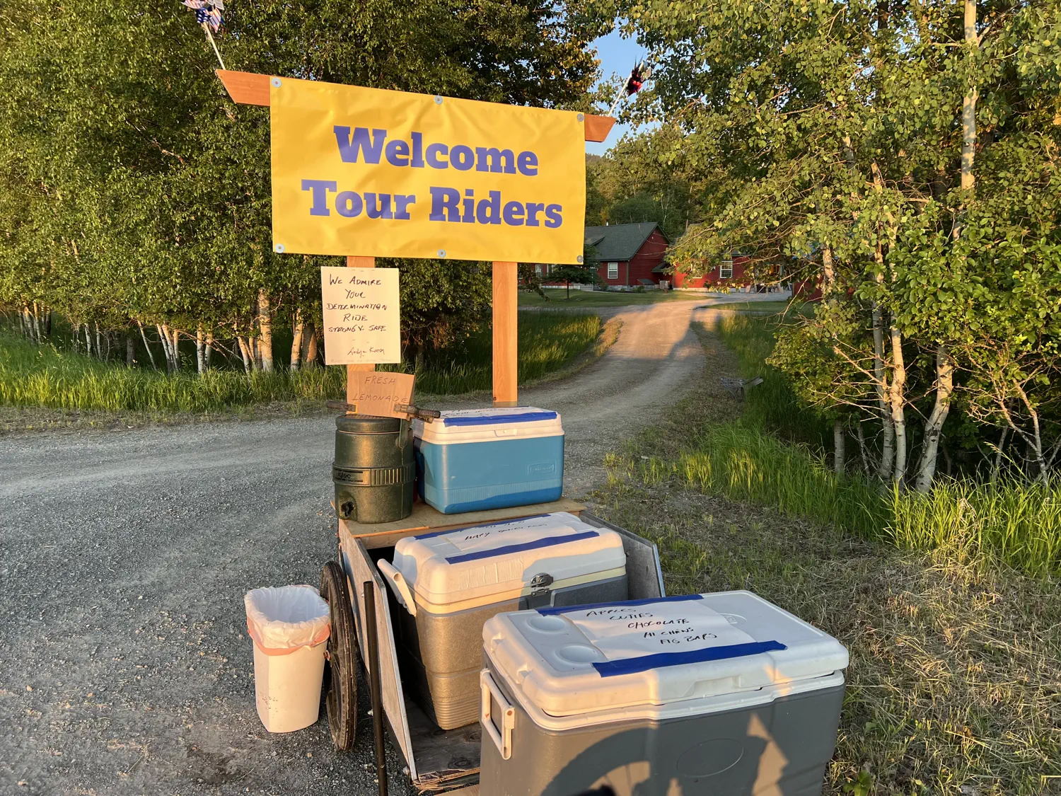
Shortly before dark, during "golden hour" (which is amazing in Montana), I ran across another piece of trail magic! A couple had set out several coolers full of food, snacks, and drinks for all the Tour Divide racers to share. I had just eaten so much in Eureka, MT, that I really didn't need anything. But I did still grab two small chocolate bars, and they were delicious! 😋
Stopping for the night at Birch Creek Recreation Area ⛺ 🛌
Just as it started to really get dark and I was starting to get nervous about grizzly bears... There it was, I had found the open-air shelter! 🎉 The shelter was located at Birch Creek Recreation Area. I pulled in and was welcomed by about half a dozen other racers who had already set up their sleeping arrangements for the night.
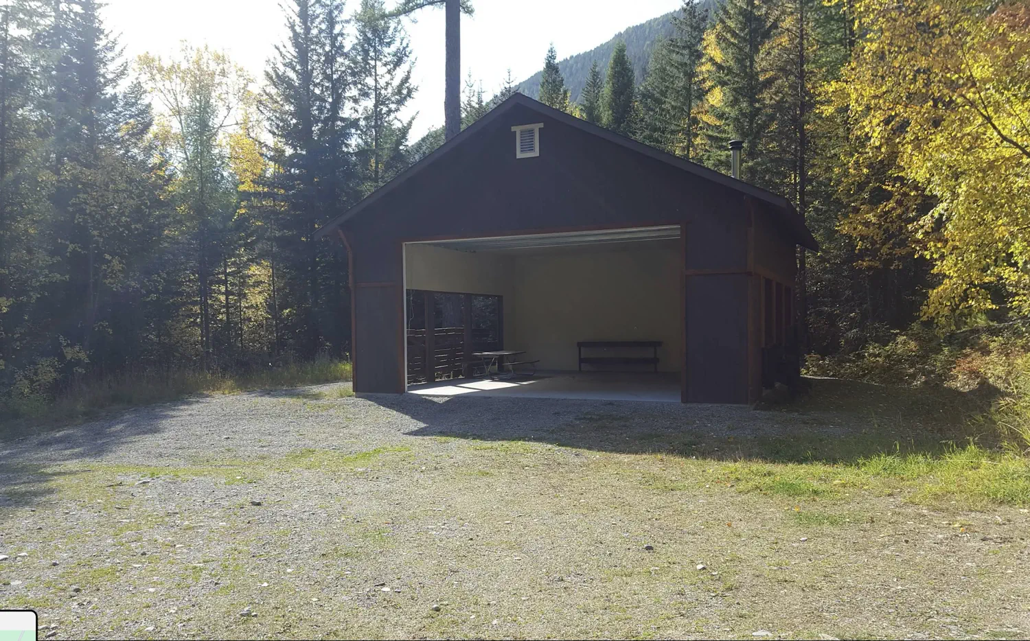
I found a spot in the shelter, laid out my tent body as a ground sheet (the floor was a slab of concrete), placed my sleeping pad and sleeping bag on top of the tent fabric, and then used the tent to wrap and cover my sleeping bag. It was surprisingly comfortable sleeping like that, especially with the cool air hitting my face after a long, hot day in the sun. 😴
Funny story... sometime during the night, another racer pulled into the campsite but only rolled up halfway to where the shelter was. She then proceeded to pitch a tent and sleep in the woods. The next morning, she was shocked to see the rest of us waking up in the open-air shelter. It was so dark and windy when she arrived that she had no idea that any of us were there! 🤣
Even though I didn't hit my 100-mile (161-kilometer) daily target, I still felt like I had a successful day on the bike. The challenges of The Wall really slowed down progress, and the heat in the valley was unrelenting. As I would continue to learn throughout the race, it pays to be smart and calculated rather than pushing beyond your limits just to hit an arbitrary distance target.
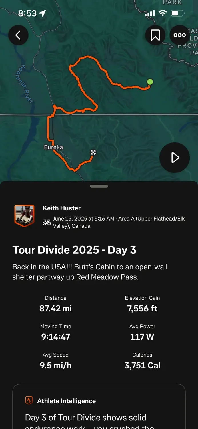
Day 3 ride stats 🧾 📈
My stats for the day:
- Distance: 87.42 miles (140.69 kilometers)
- Elevation Gain: 7,556 feet (2,303 meters)
- Moving Time: 9 hours, 14 minutes, and 47 seconds
- Calories Burned: 3,751 calories
Coming up next 🚵 ➡️
In the next post, I take on Red Meadow Pass, and I finally get a hotel room for the first time. Be sure to subscribe to our blog so you don't miss out.
• Next Post: Racing (Day 4) - Birch Creek Recreation Area, Montana 🇺🇸 to Timbers Motel, Montana 🇺🇸 [coming soon]
• Previous Post: Racing (Day 2) - Koko Claims, British Columbia 🇨🇦 to Butts Cabin, British Columbia 🇨🇦
Did you watch the video of Keith taking on "The Wall"? What did you think about this crazy obstacle? Let us know in the comments below. 👇 💬