Bluff and Mexican Hat, Utah
- Written by Lindsey Huster
- /
- 4 min read
- /
- Last updated 7 months ago
We got a great night of sleep and even slept in on Sunday morning. Isn’t it funny how driving all day can really take it out of you? We’d been pretty busy the last few days and I don’t think we knew how tired we were. I kind of forgot about running to Walmart at 10:30 p.m. Friday night because my blow dryer had quit working earlier that day …. Or that I forgot to pick one up while out grocery and supply shopping that same night.
Settling in
I cooked a nice breakfast, which we ate closer to lunchtime, while Keith finished setting up his workstation. We both worked on organizing stuff in the motorhome, which mainly consisted of us standing around, staring, and trying to imagine if something would or wouldn’t work best where it was.
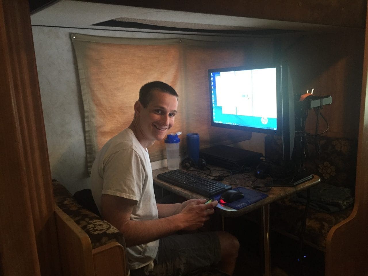
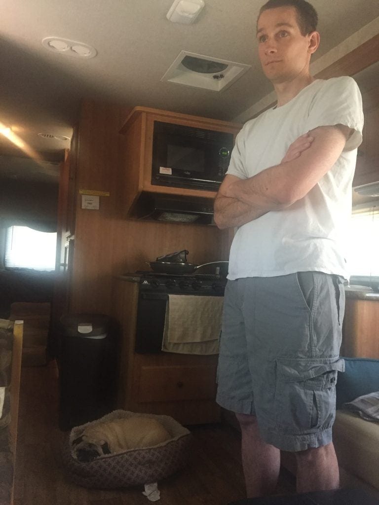
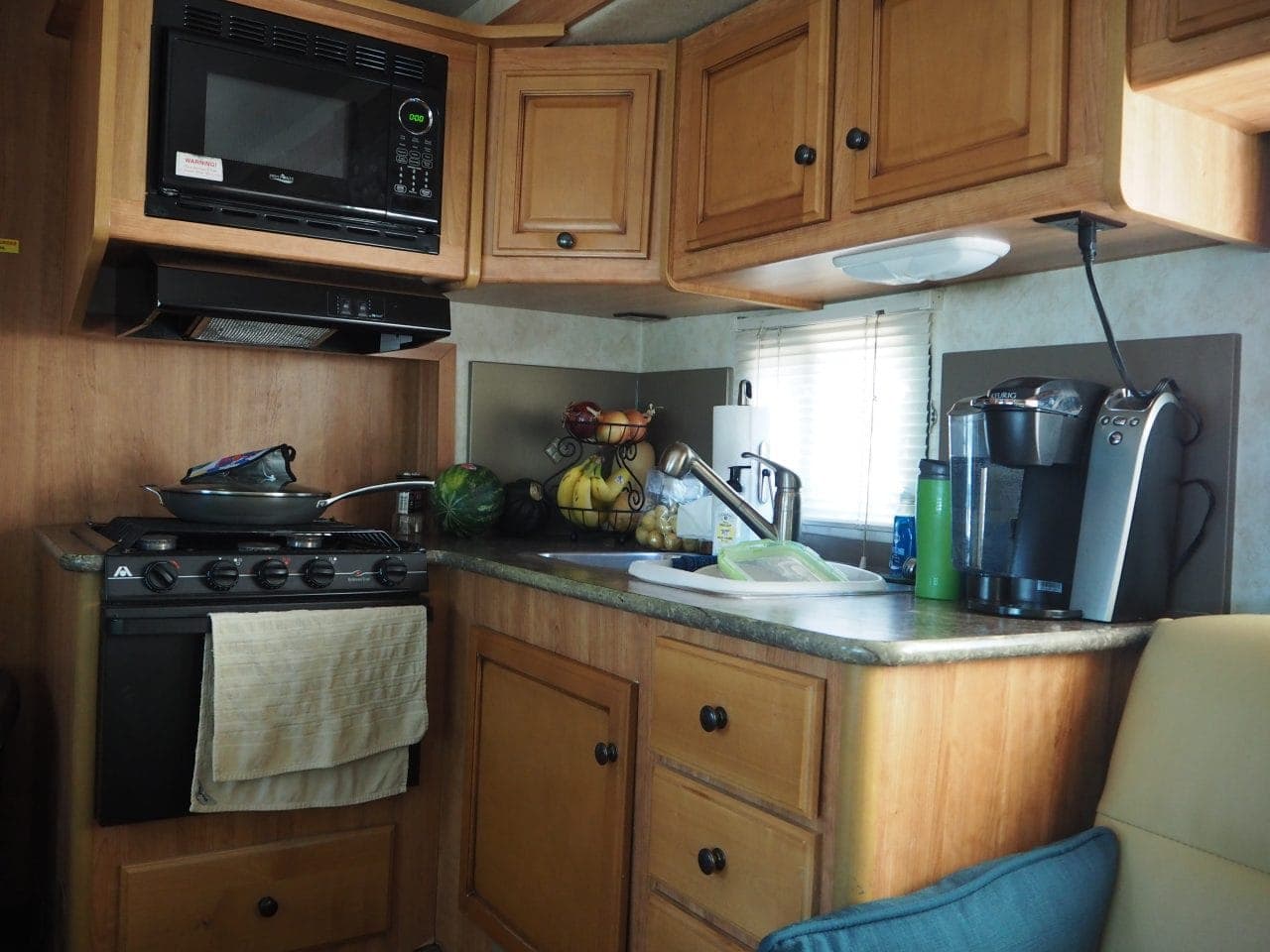
Gallery of settling into our motorhome
Sand Island near Bluff, Utah
By the early evening, we decided we needed to get out and see a little bit of the area! Lexi needed to get out too. It was starting to cool down so we hopped into the jeep and took off.
About 2.5 miles down the road we saw a sign for Sand Island. We pulled off the road and found petroglyphs, a campground, and an entrance to the river for rafting.
The petroglyph panel is easily accessible and stretches over 100 yards. Then we headed down UT-191 to see what else we could find. Driving west out of Bluff is absolutely gorgeous. Blue sky, red rock, green vegetation, and orange sand… stunning!
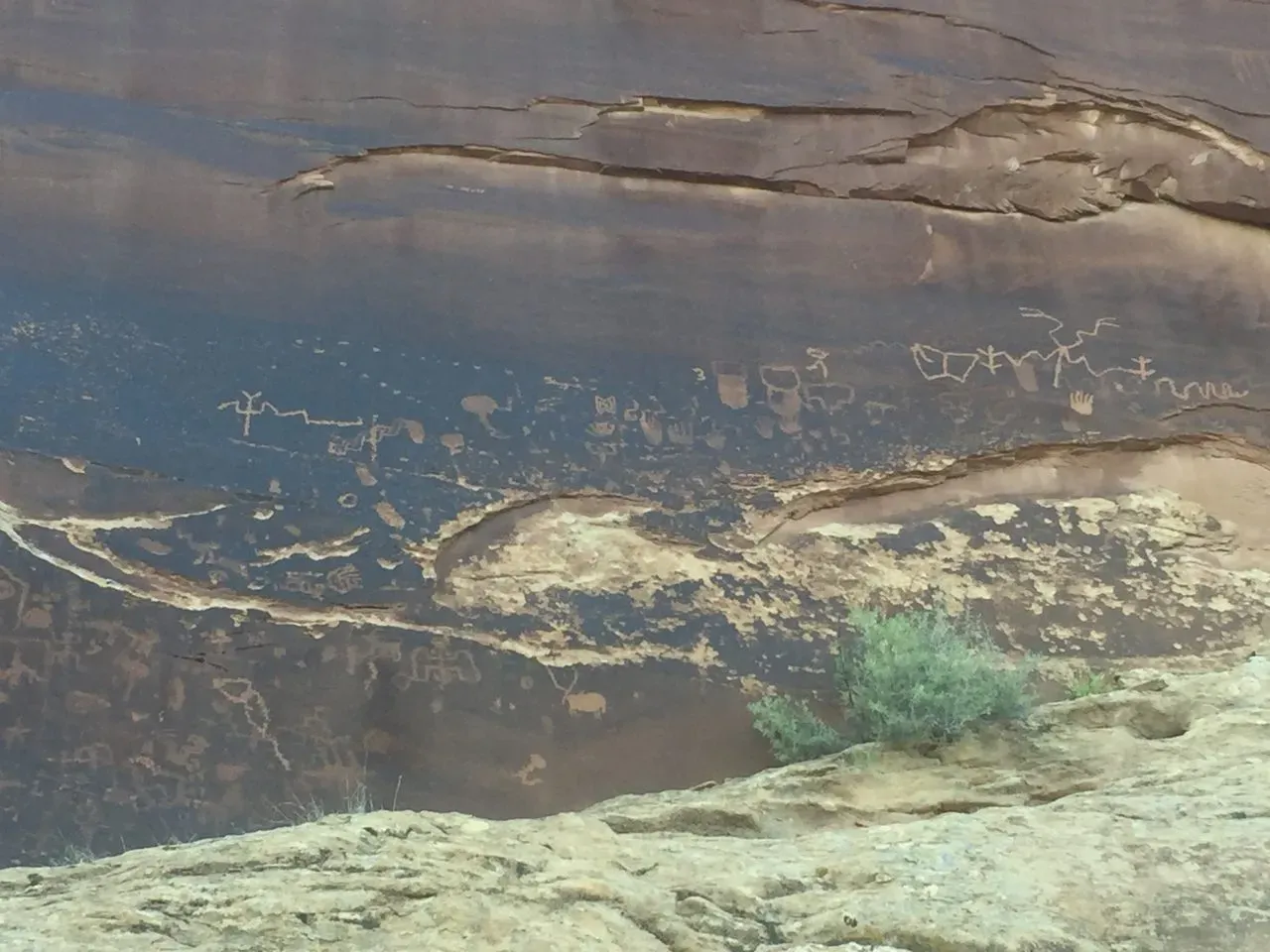
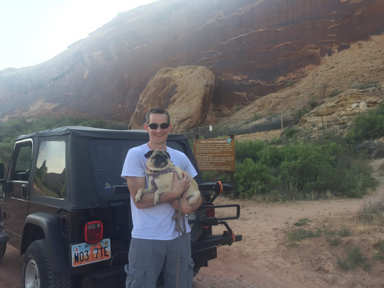
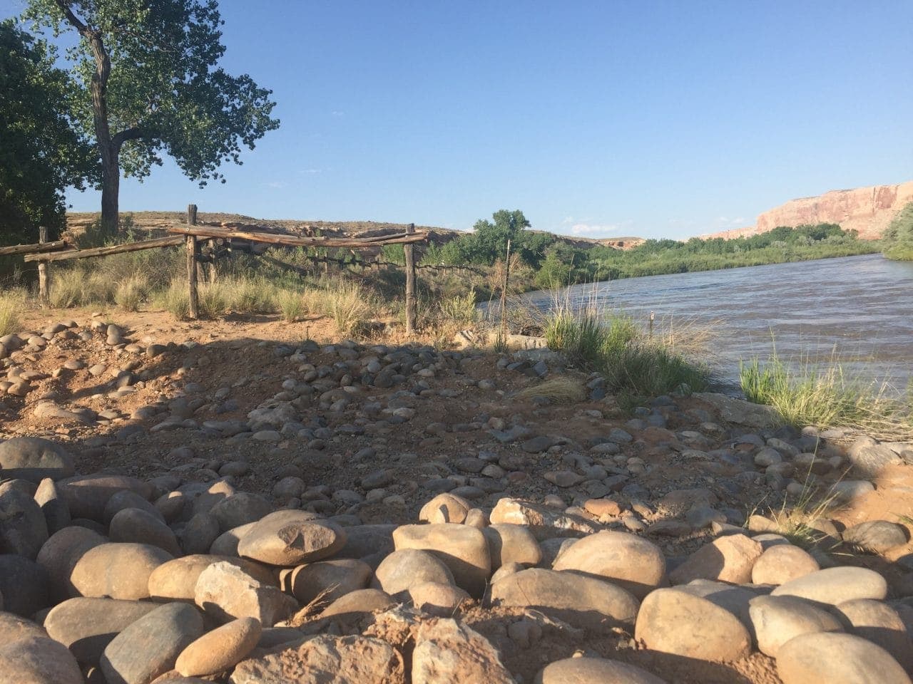
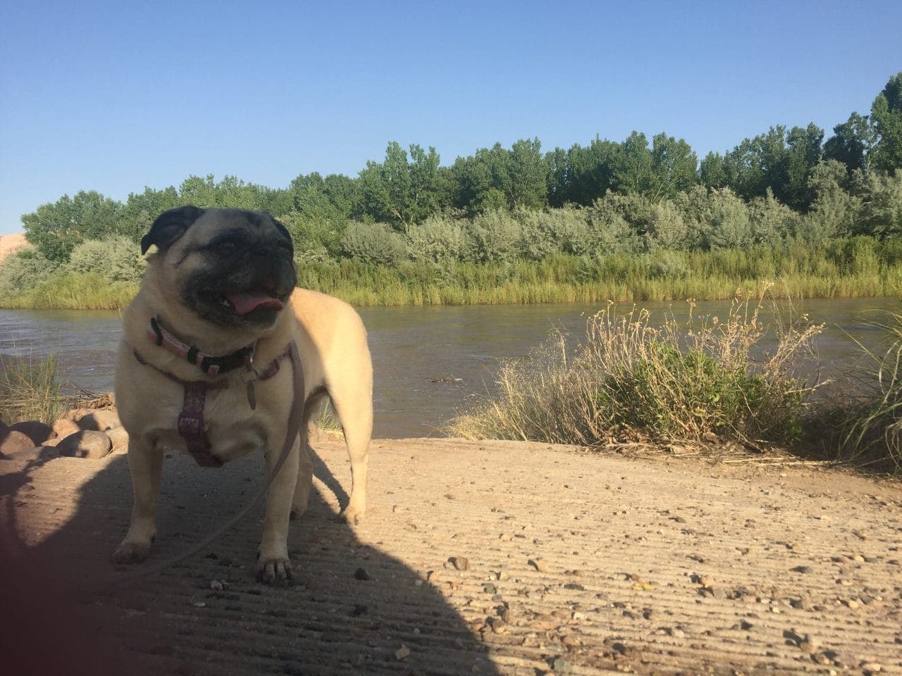
Gallery of exploring Sand Island petroglyphs
Small towns
We had looked at the map so we knew there were a couple of towns nearby. After seeing how small Bluff was, we weren’t sure what type of amenities there might be. We were a little shocked to drive through towns that were listed on Google Maps and there was basically nothing there.
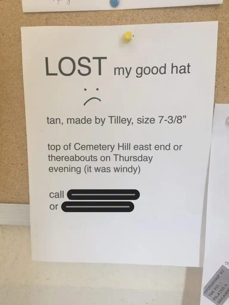
To give you an idea, the population of Bluff is 320 people. When I went and asked some questions at the post office, the gentlemen gave me directions to the inn and only the first name of whom I needed to talk with. First names were all we needed and people knew who we were talking about! I snapped this picture at the post office. I sure hope this guy gets his “good hat” back!
Don’t get me wrong, these towns are full of history and have plenty of hidden gems amongst them, but it’s quite different than we expected as a small town. We also knew there was quite a lot to do in the surrounding area so we were surprised that there wasn’t more commercialized development.
Mexican Hat, Utah
Our next stop was Mexican Hat, a small settlement named after nearby Mexican Hat Rock. There is a dirt road to reach the base of the rock formation. The large flat rock on top is approximately 60 feet in diameter. It was fun to see this unique formation up close and to get another glimpse of the San Juan River.
The vast Navajo Reservation begins south of the river. With a land base of 27,000 square miles, the Navajo Nation crosses into Arizona, New Mexico, and Utah. There are more than a dozen national monuments, tribal parks, and historical sites within the area. Navajo are known for their arts and crafts and while staying in Bluff to explore, we were able to see the cultural and artistic influence.
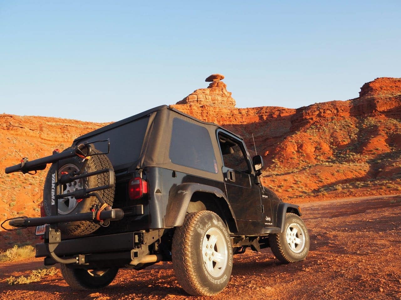
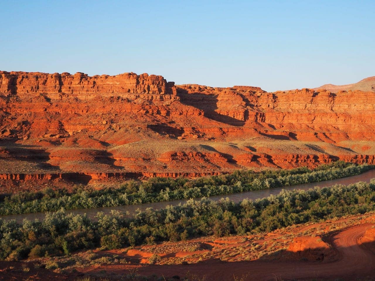
Gallery of stunning views around Mexican Hat, UT
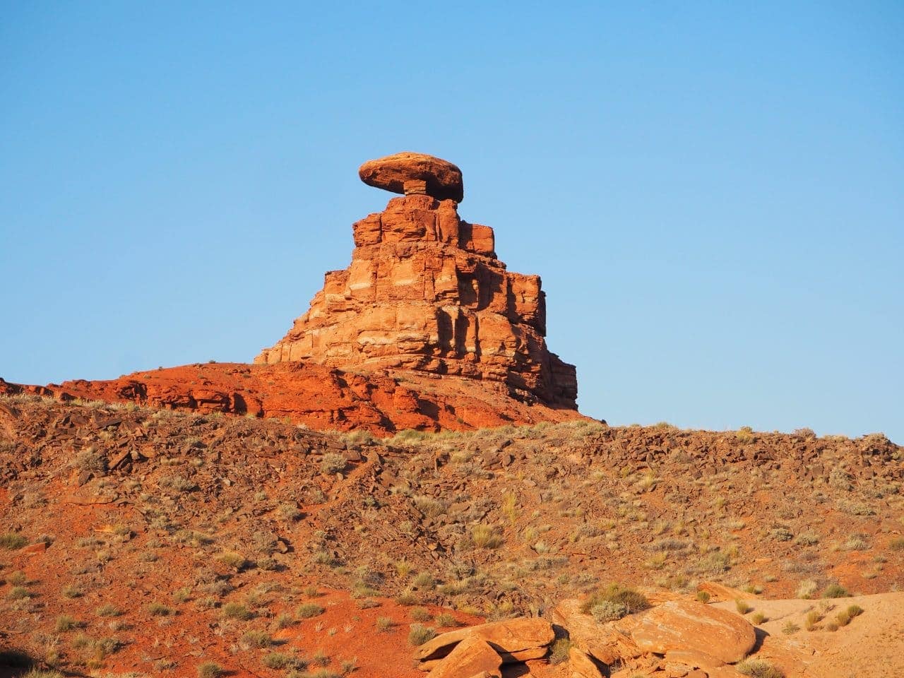
What a way to start the trip!
We drove just a bit further and decided to turn back. The views were breathtaking, but we also knew we’d be traveling to Valley of the Gods and Monument Valley on this road so we didn’t want to spoil the upcoming outings with too much of a preview.


