

Weekly Newsletter: July 22nd-28th, 2024
- Written by Keith Huster
- 6 min read
- Last updated 2 years ago
This week, Keith finally linked up with his mountain biking friends to ride Snowbird's Big Mountain Trail! 🙌 We also spent some time practicing hiking for an upcoming planned trip. 🥾
Check out our new posts and videos 🆕 🎥 📝
Our latest blog post
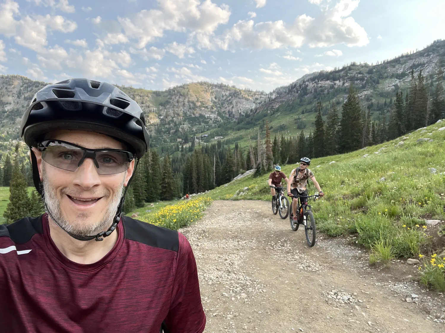
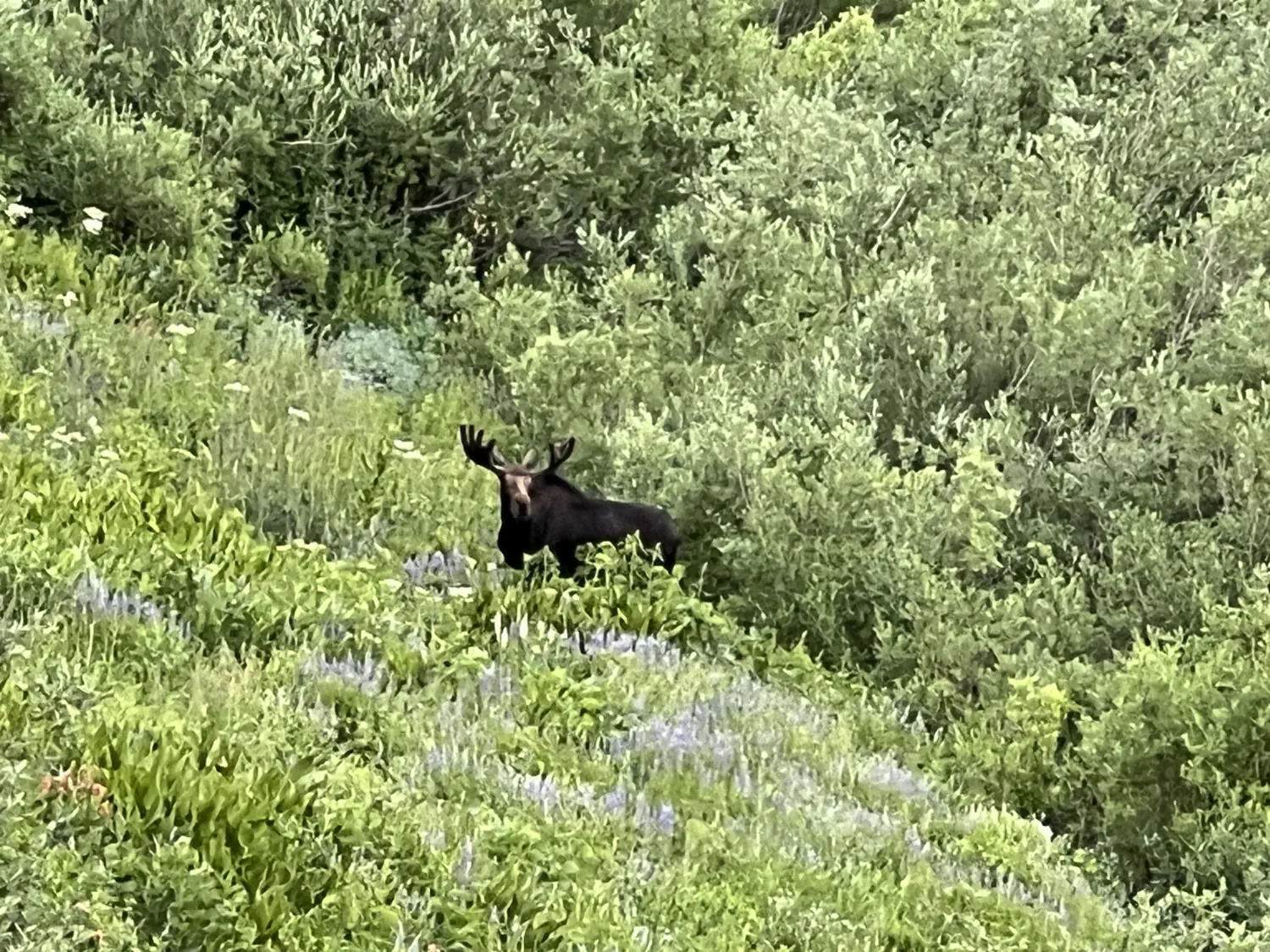
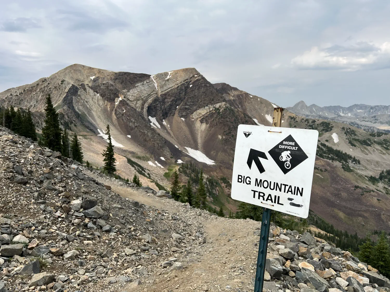
Snowbird Big Mountain Trail 🚵 🌷
This weekend was the Wasatch Wildflower Festival at Snowbird. That means that the wildflowers are in full bloom in the upper mountains. Keith and his friends planned to ride Snowbird's Big Mountain Trail to enjoy an amazing day of mountain biking and see the wildflowers along the way.
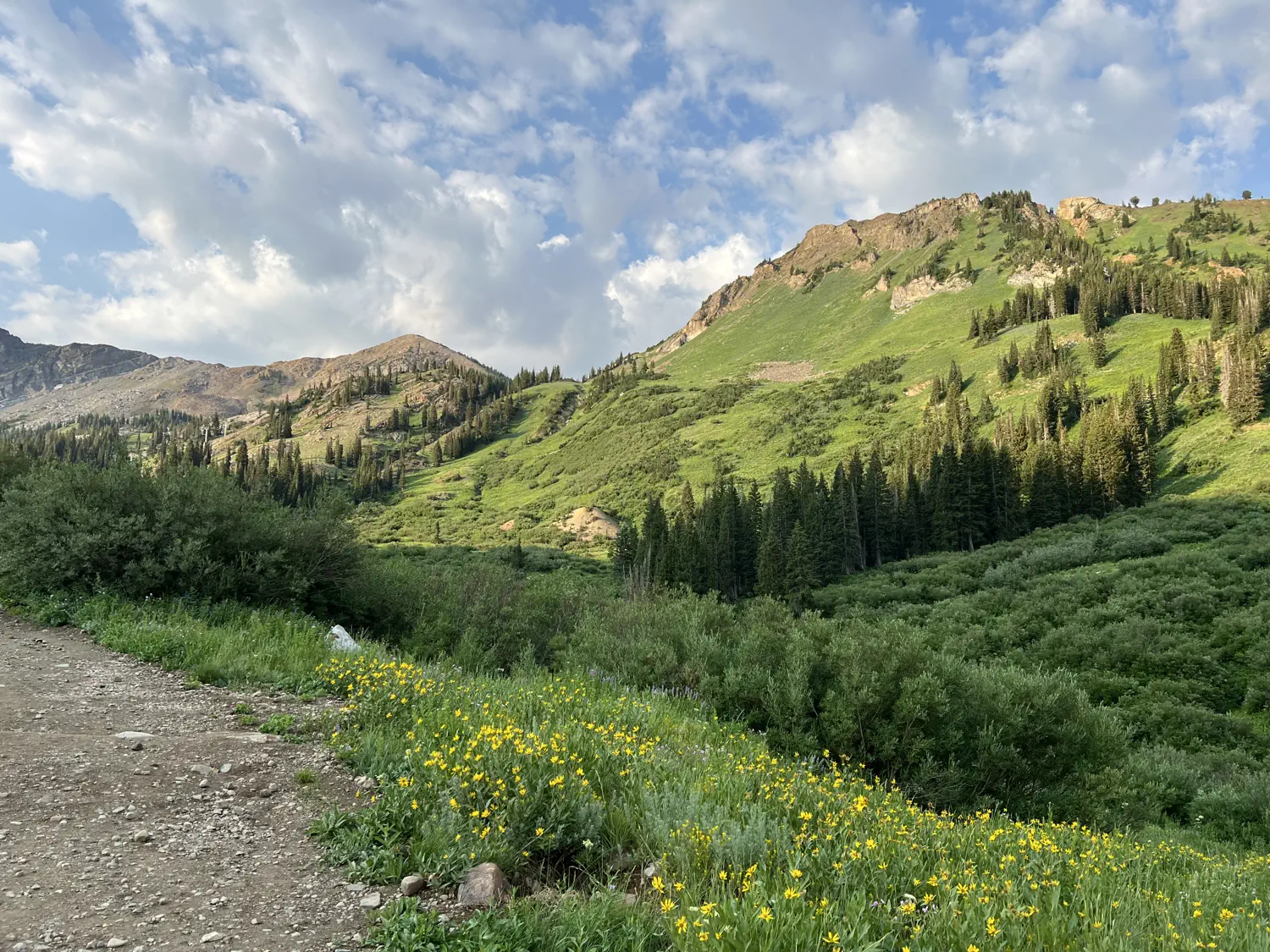
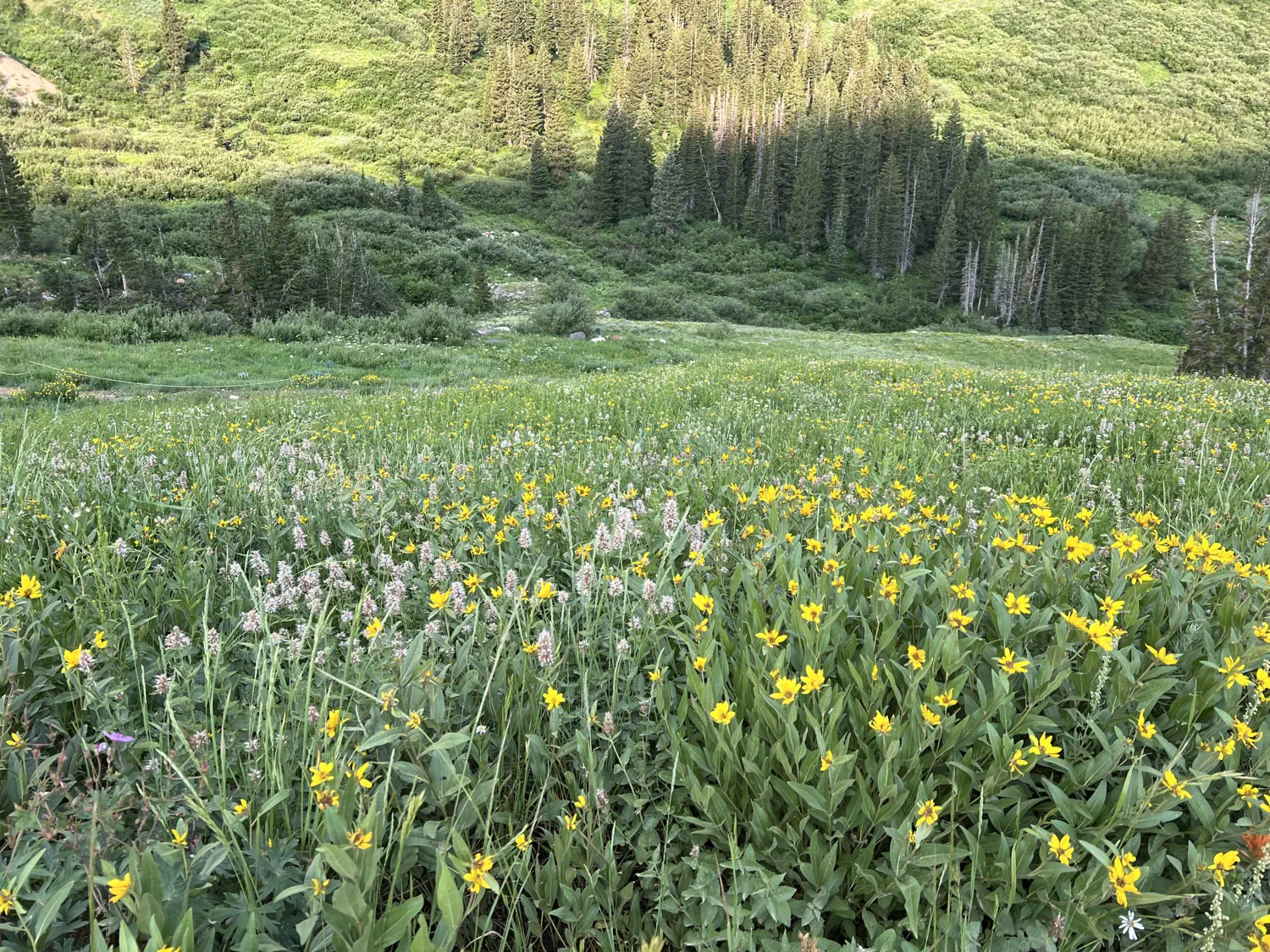
Gallery of the wildflowers on display throughout Alta Ski Area
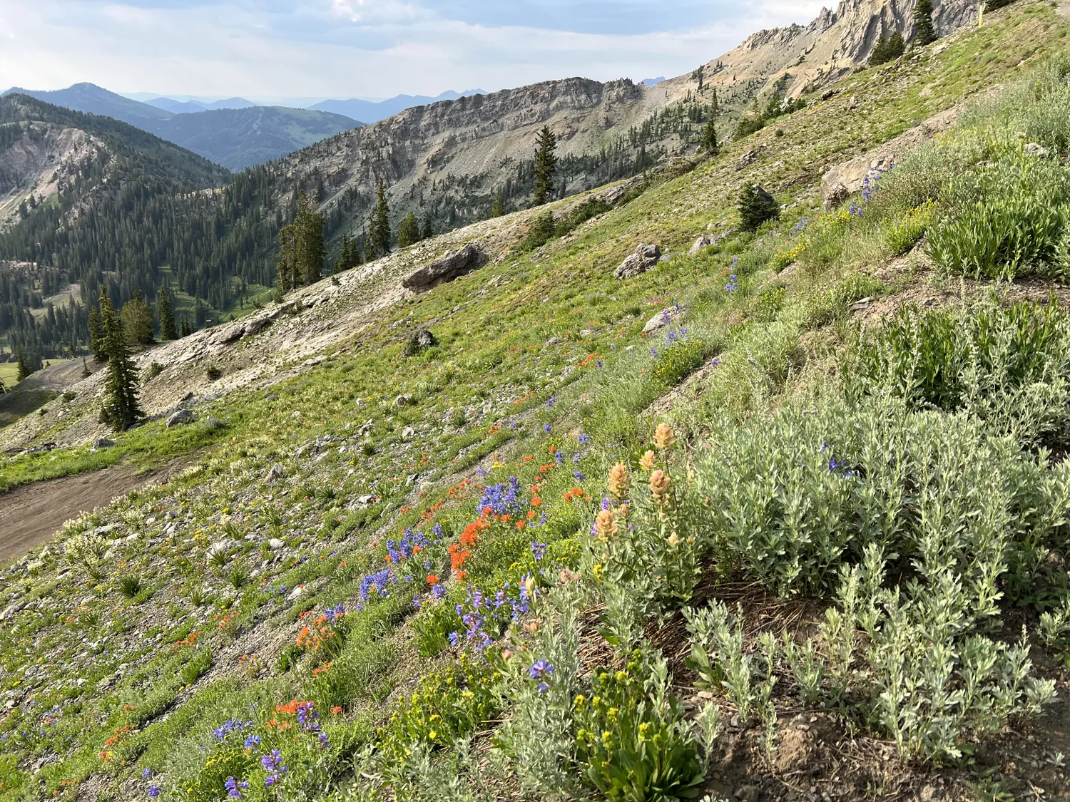
The crew starts their ride at Alta Ski Area which is located just above Snowbird in Little Cottonwood Canyon. Their route climbs the steep, rough hiking trails and service roads until they reach the top of the Alta side of Mineral Basin. From there, they descend into Mineral Basin before making the final climb to near the top of Hidden Peak at nearly 11,000 feet (3,352 meters). This is the starting point for Snowbird's Big Mountain Trail.
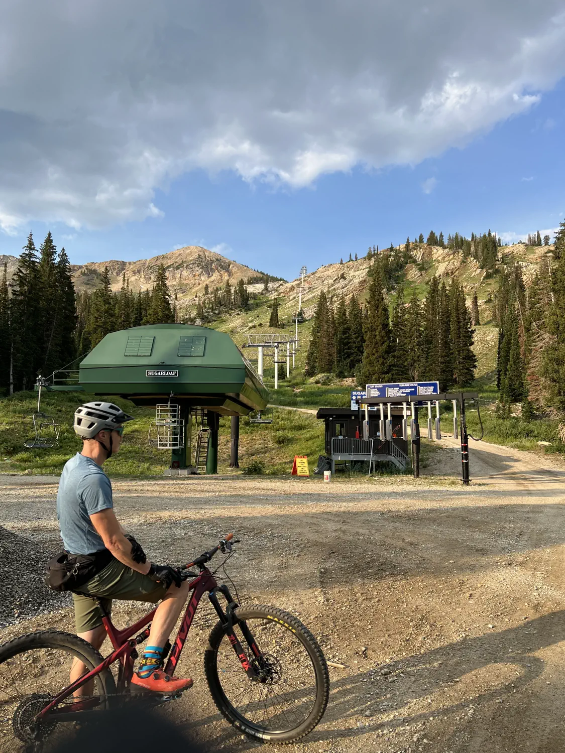
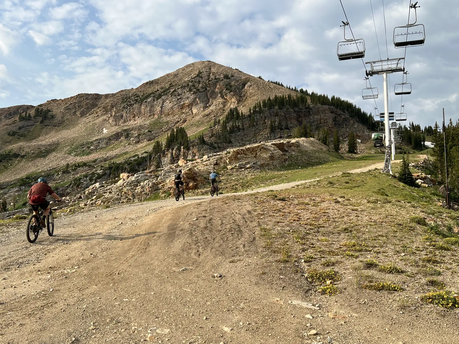
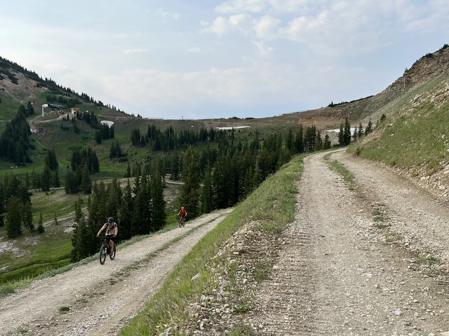
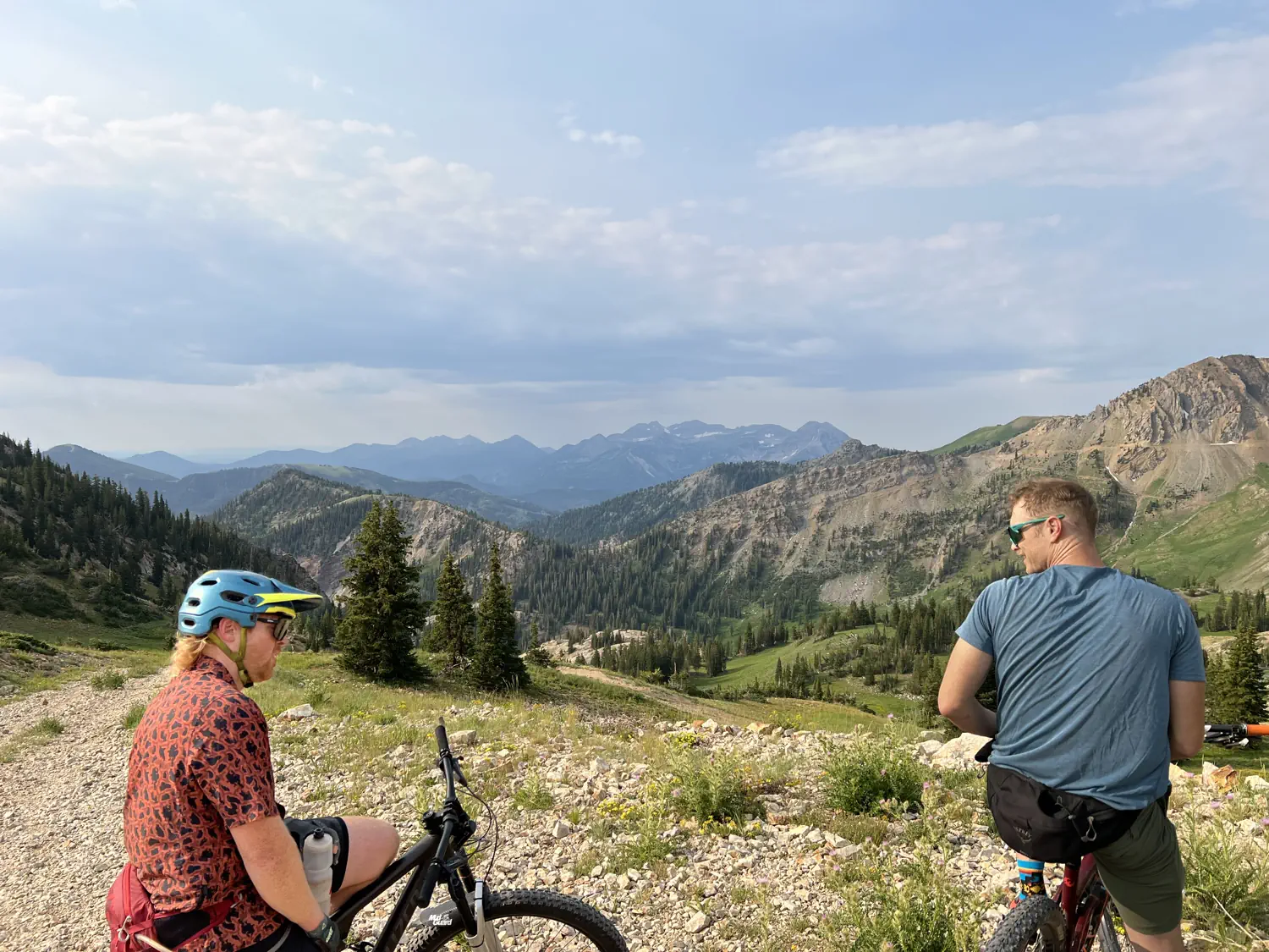
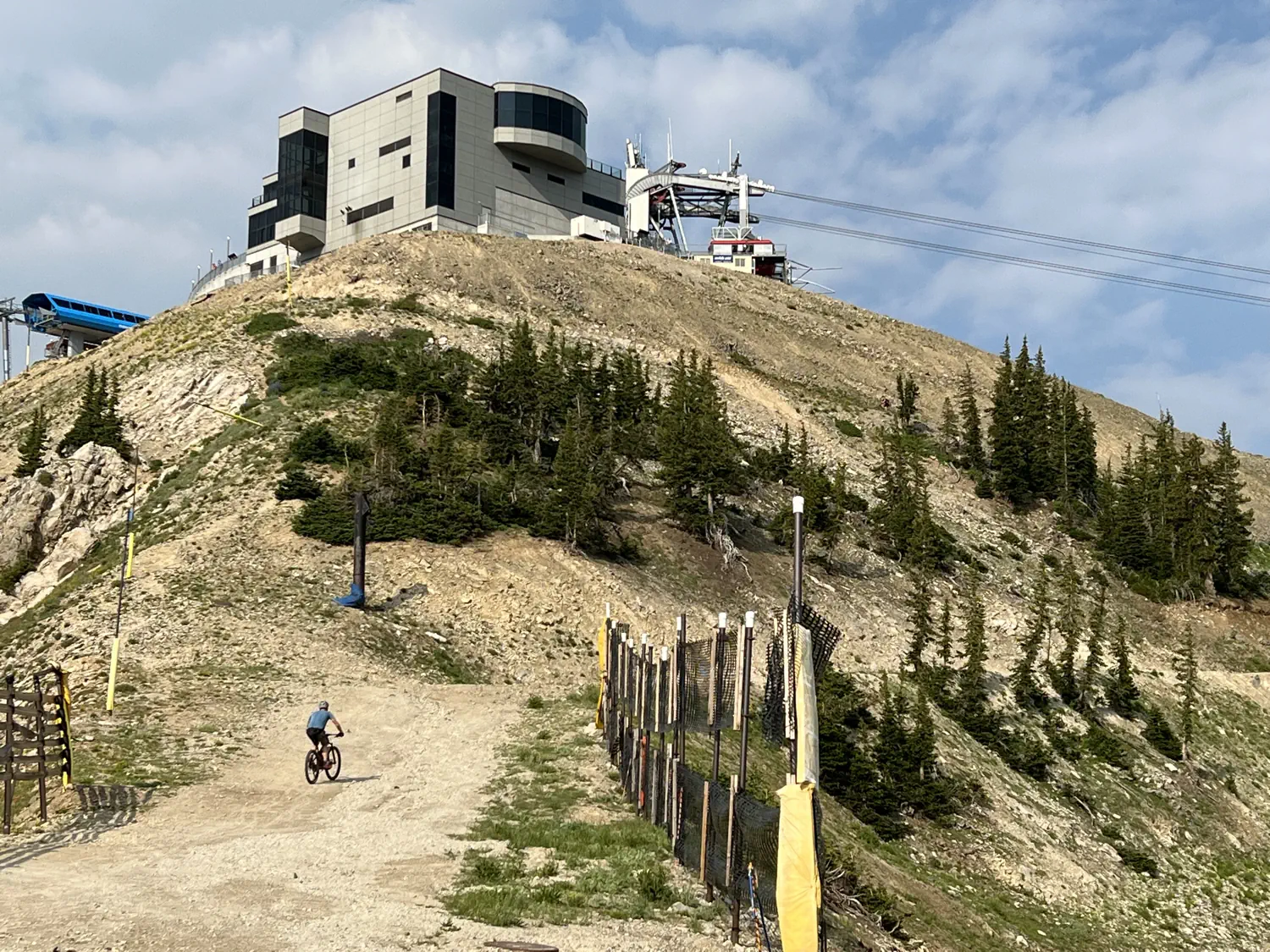
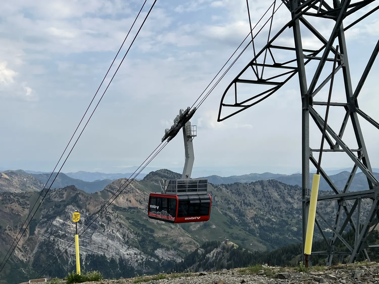
Gallery of the climb to the start of Snowbird's Big Mountain Trail
The trail descends nearly 2,500 vertical feet (762 meters) over 8 miles (12.9 kilometers). This makes it one of the longest continuous descents in the Wasatch Range. The trail is amazing! 🤩 It has a little of everything including exposed sweeping mountain views, steep technical rock sections, and fast/flow sections. At the end of the trail, the crew pedaled back up the main road to their vehicles at Alta. All in all, this resulted in a 14.5-mile (23.3-kilometer) loop with over 3,000 feet (914 meters) of climbing!
Dessert at The Yard 🍨 😋
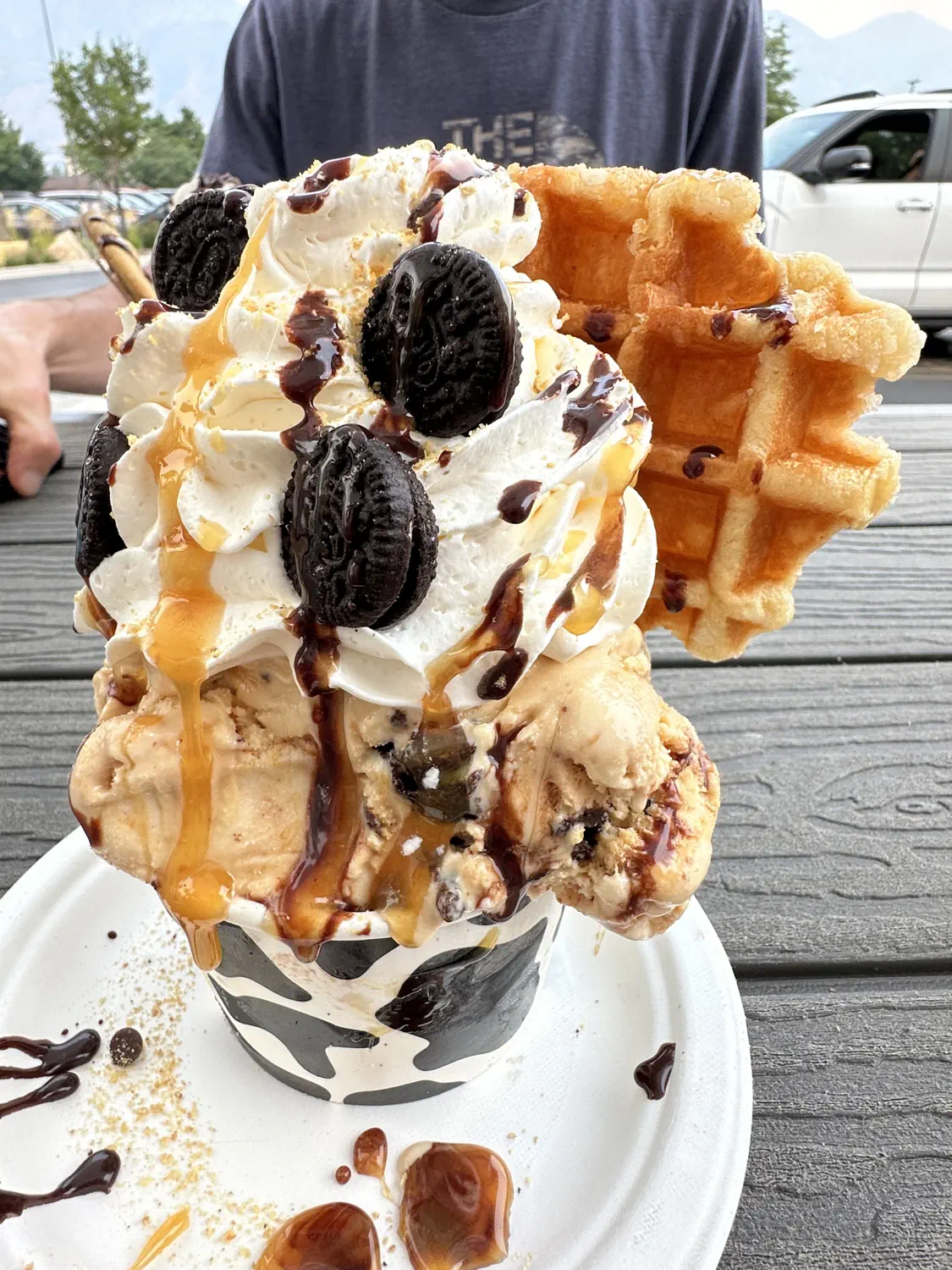
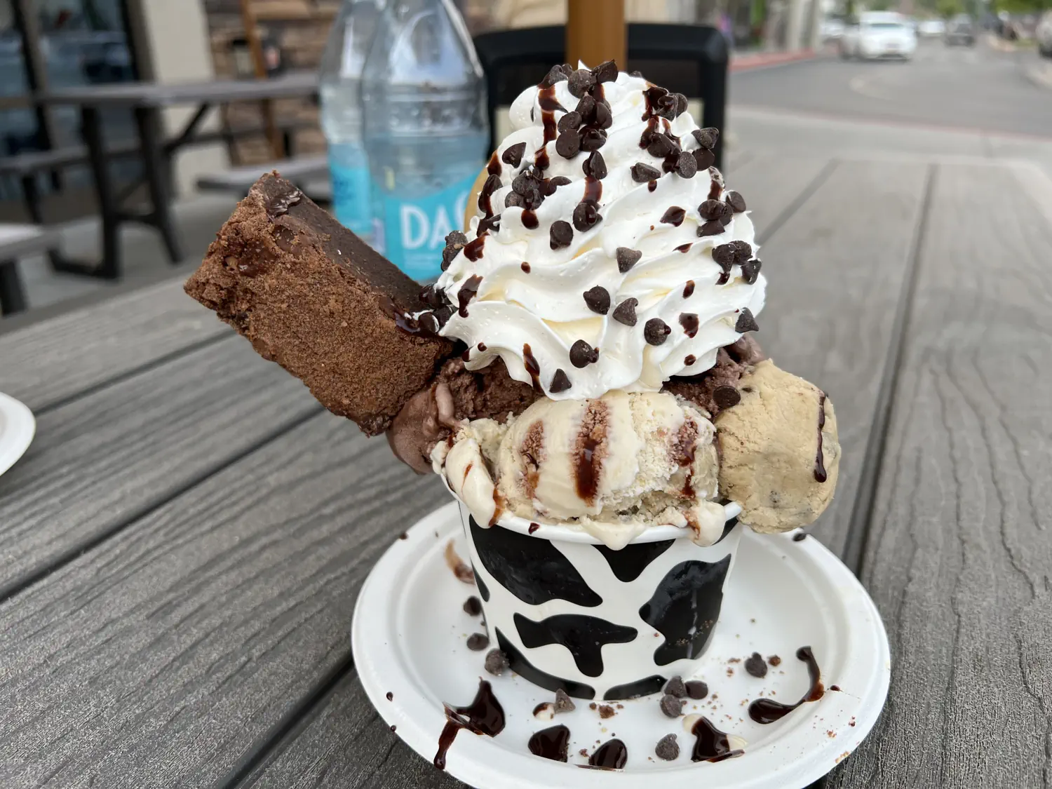
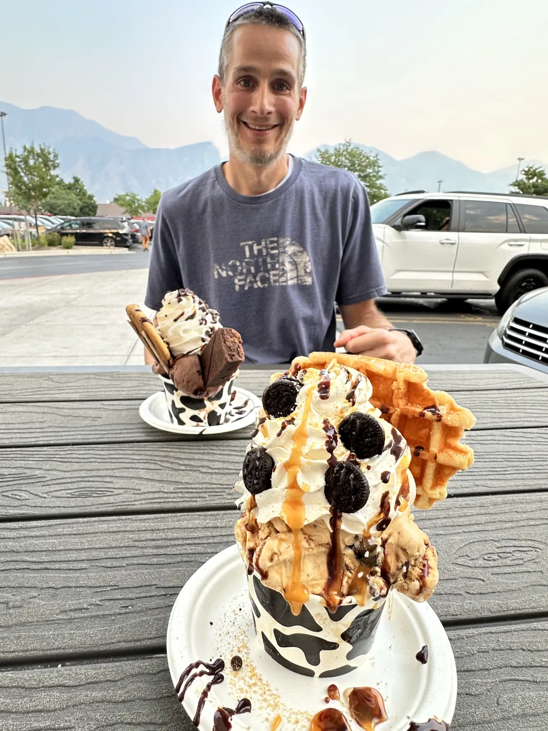
We were craving a good dessert this week so we decided to check out The Yard Milkshake Bar in Orem, UT. The milkshakes and other desserts at The Yard are definitely over the top! We decided to play it safe and ordered the smaller Specialty Bowls rather than the larger Specialty Milkshakes. Well, at least we thought we were playing it safe... we should have split one Specialty Bowl rather than ordering two. These things are HUGE!!! 🍨
Gallery of our ice cream desserts at The Yard Milkshake Bar in Orem, UT
Lindsey ordered the Salted Caramel Slopes and Keith ordered the Brookie Batter. Both bowls were spectacular! Lindsey's bowl included a waffle and mini Oreo cookies as a topper. Keith's bowl included a large brownie and a full-sized chocolate chip cookie. We both barely managed to finish our bowls but they pretty much took us down for the rest of the night. Next time, we will know to split a single dessert.
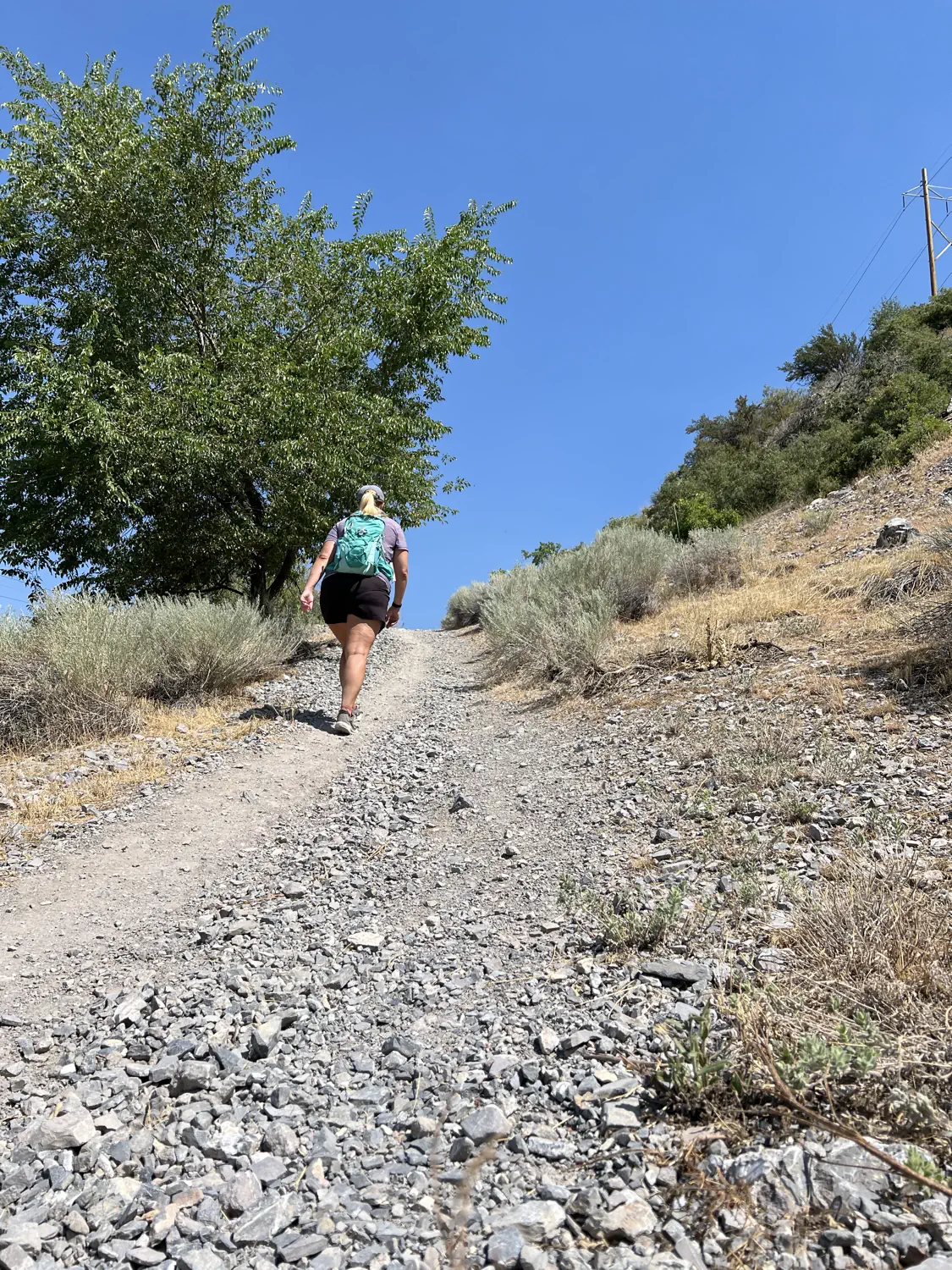
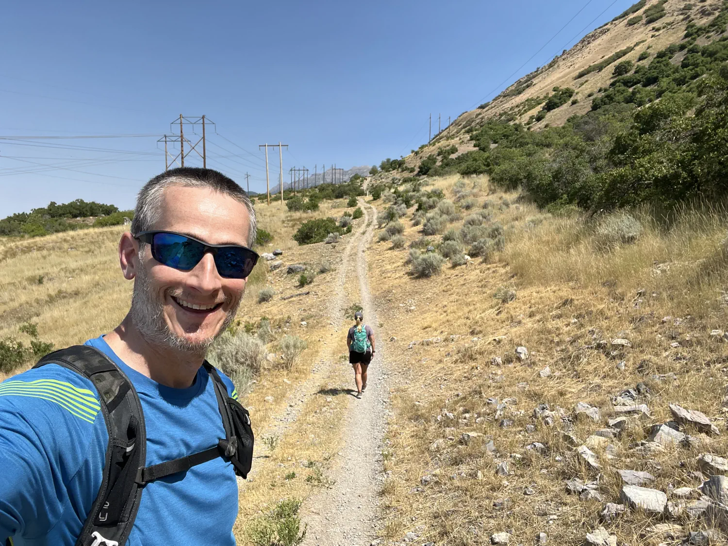
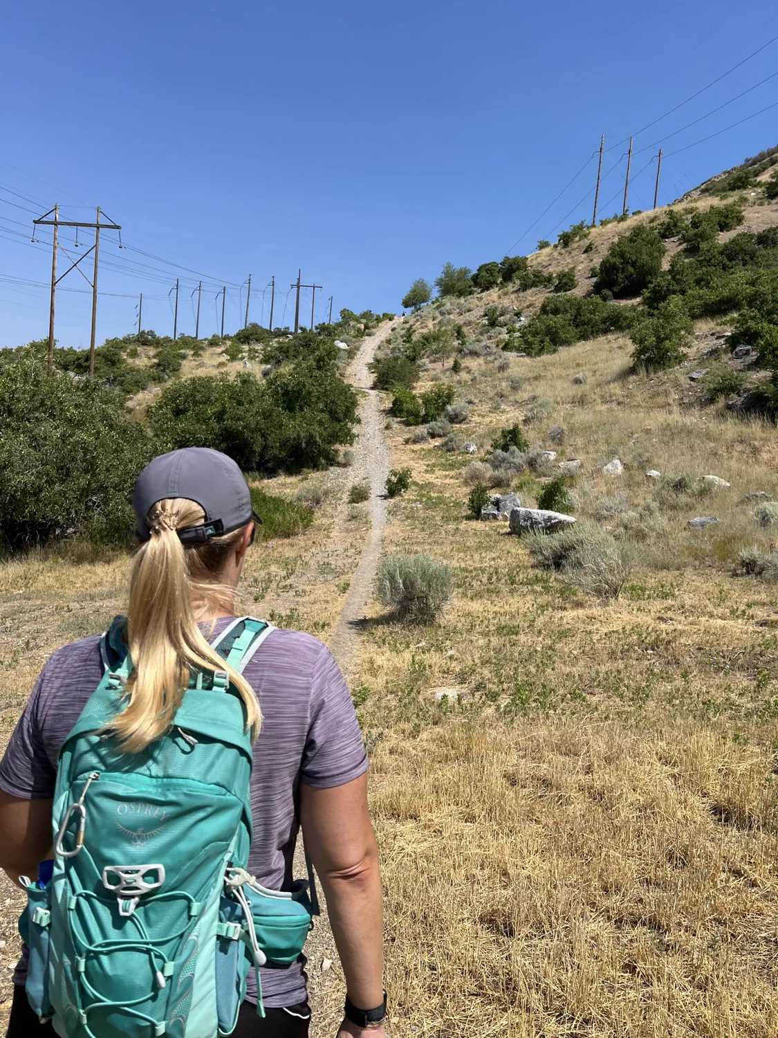
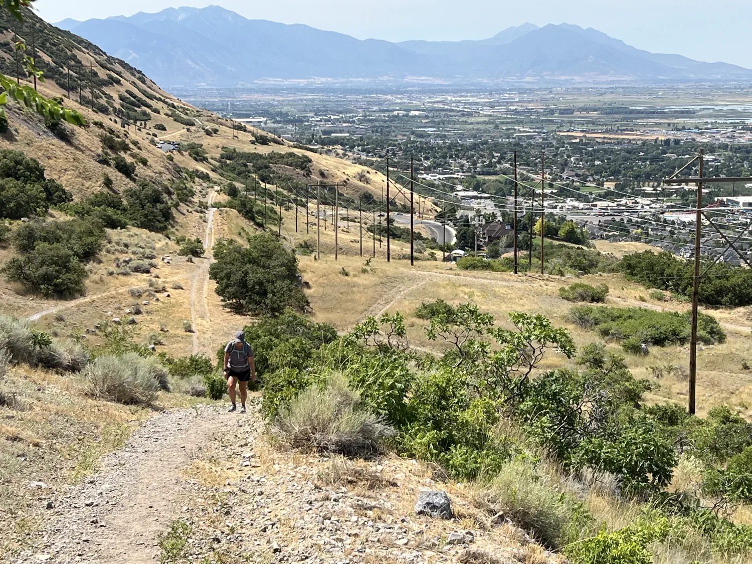
Hiking practice, together 🥾👫
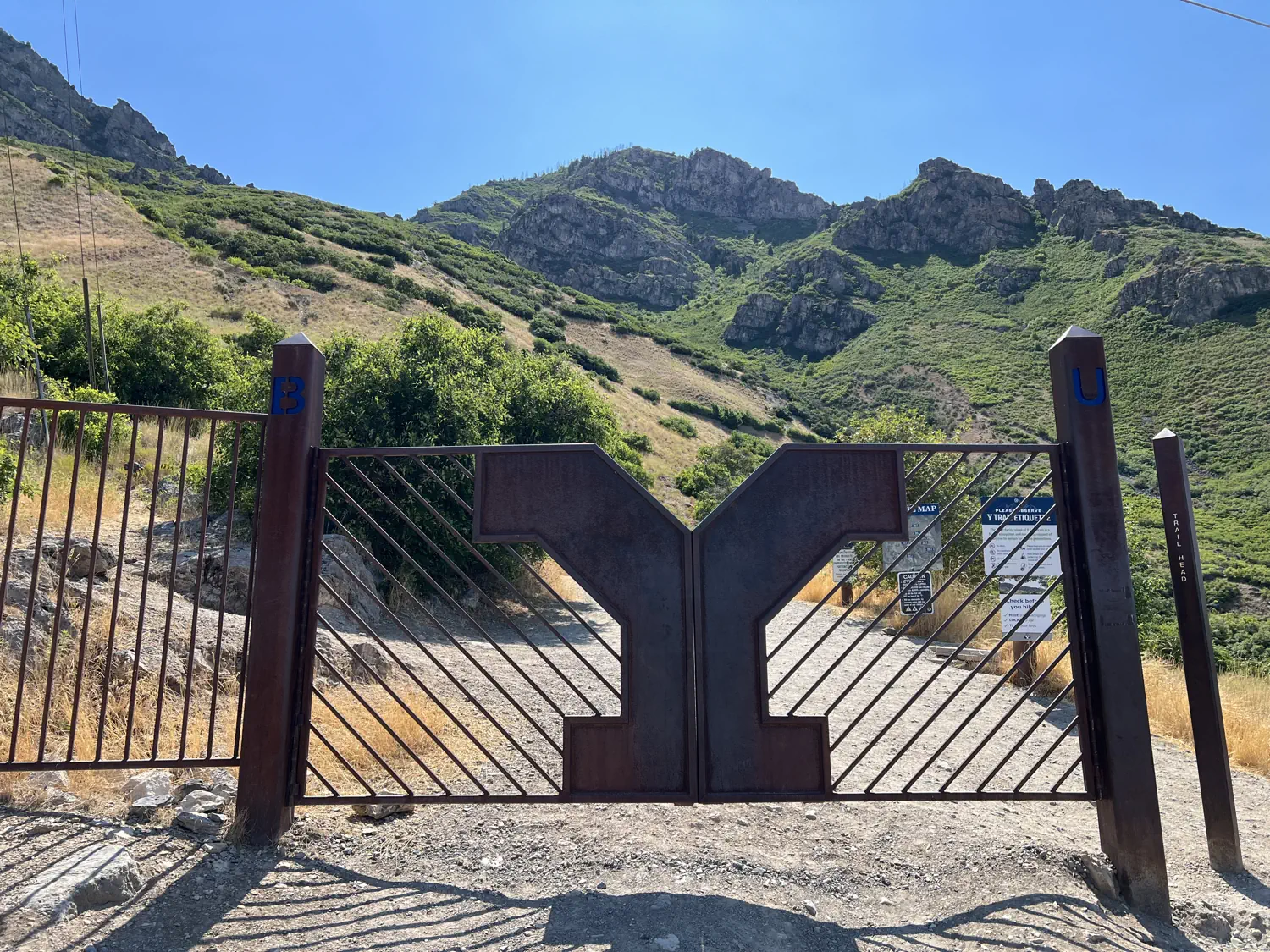
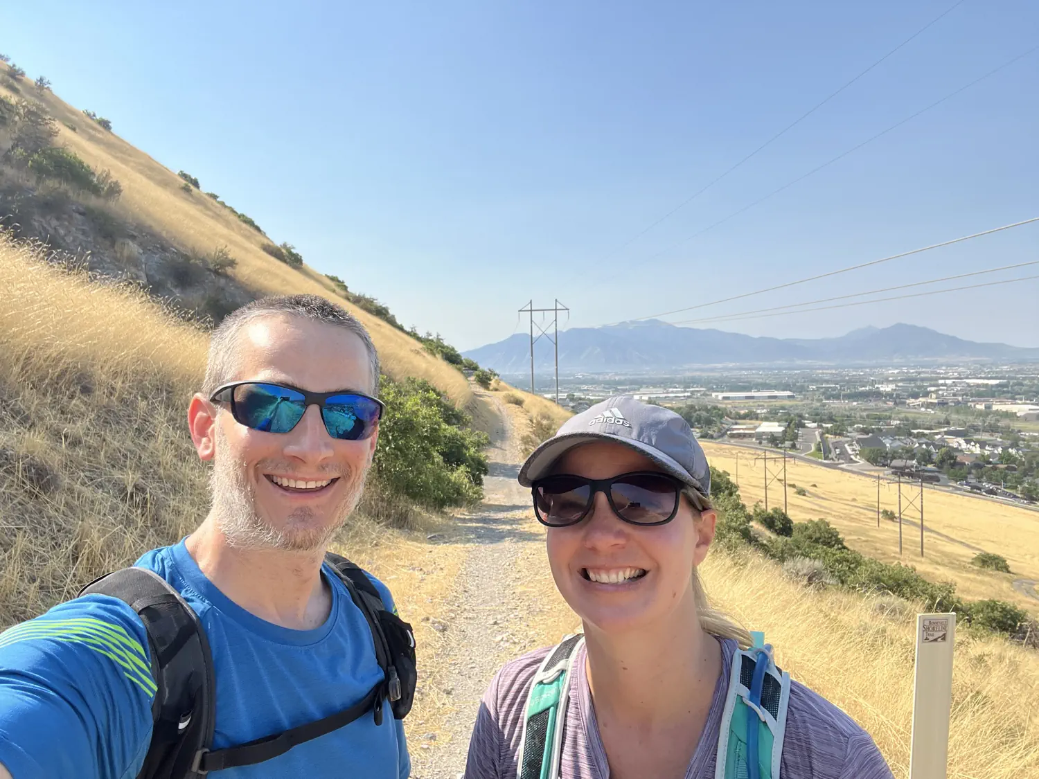
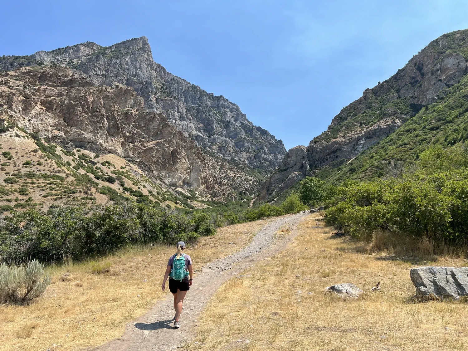
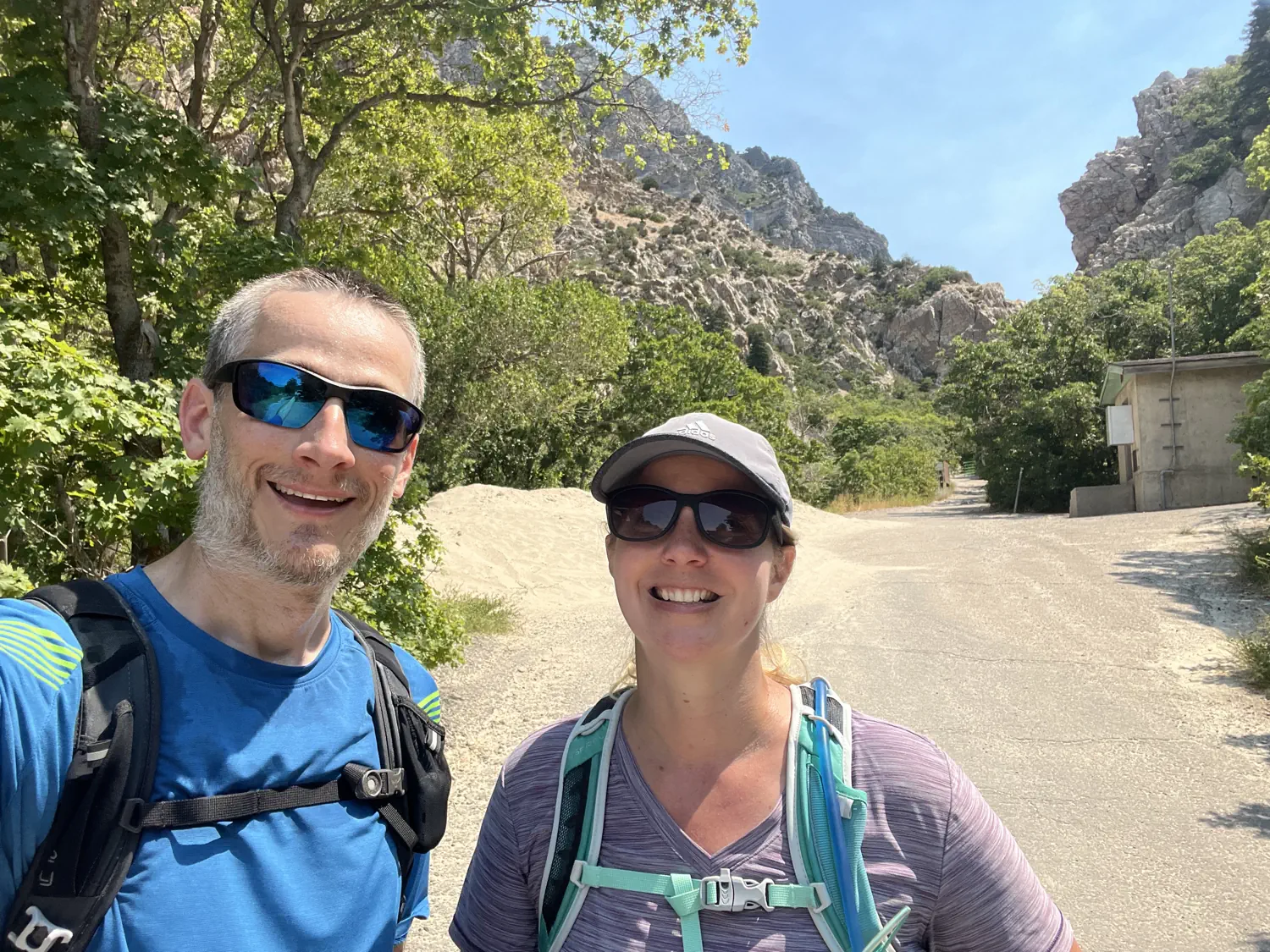
For the past couple of months, Lindsey has been practicing long-distance walking and hiking for an upcoming trip later this year. This weekend, Keith joined Lindsey to get some hiking practice in as well. We both loaded our packs with some weight (literally, Keith had a 10-pound (4.5-kilogram) weight plate in his backpack 🤣) and headed out to The "Y" trailhead in Provo, UT to hike along the Bonneville Shoreline Trail.
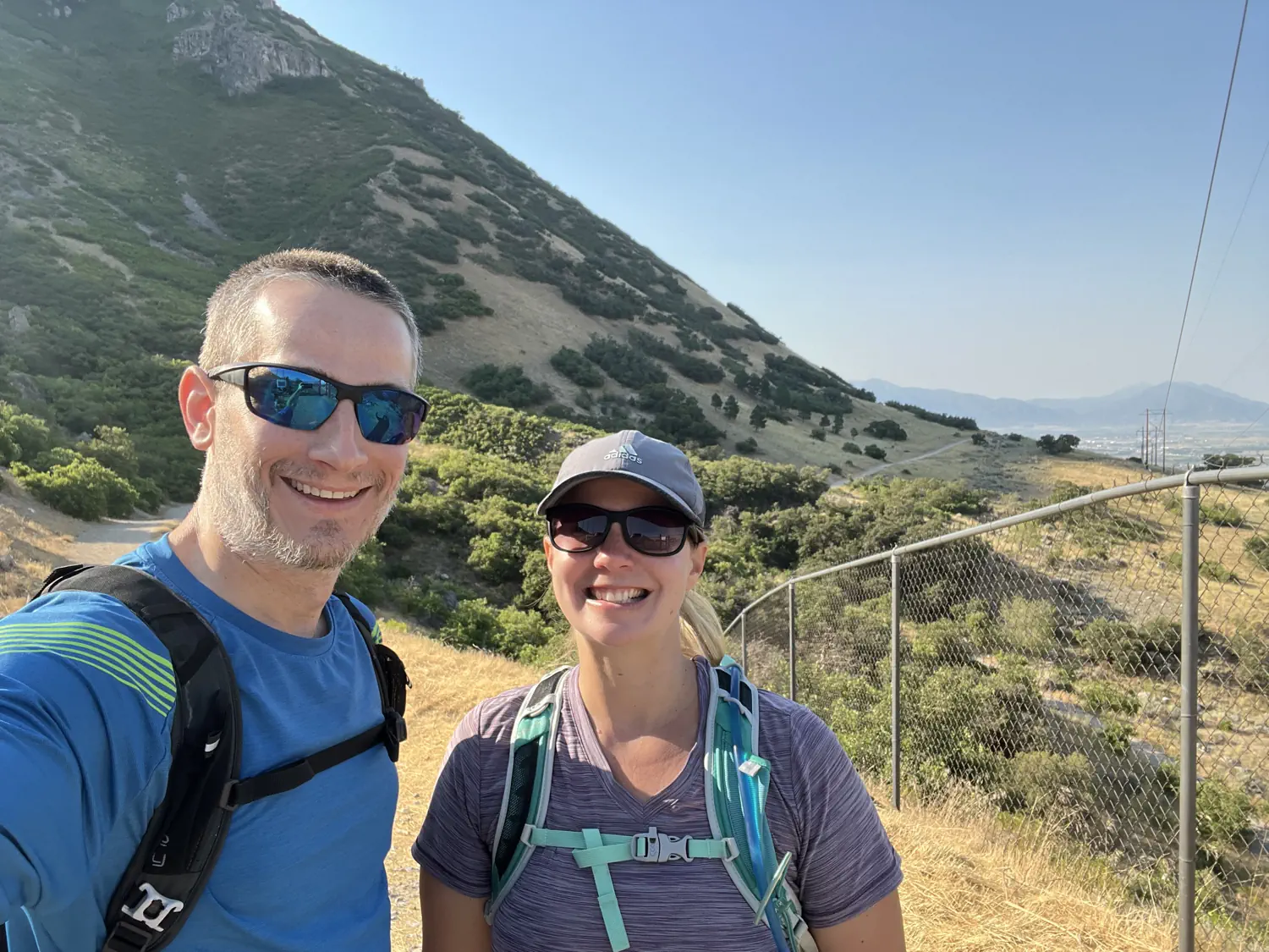
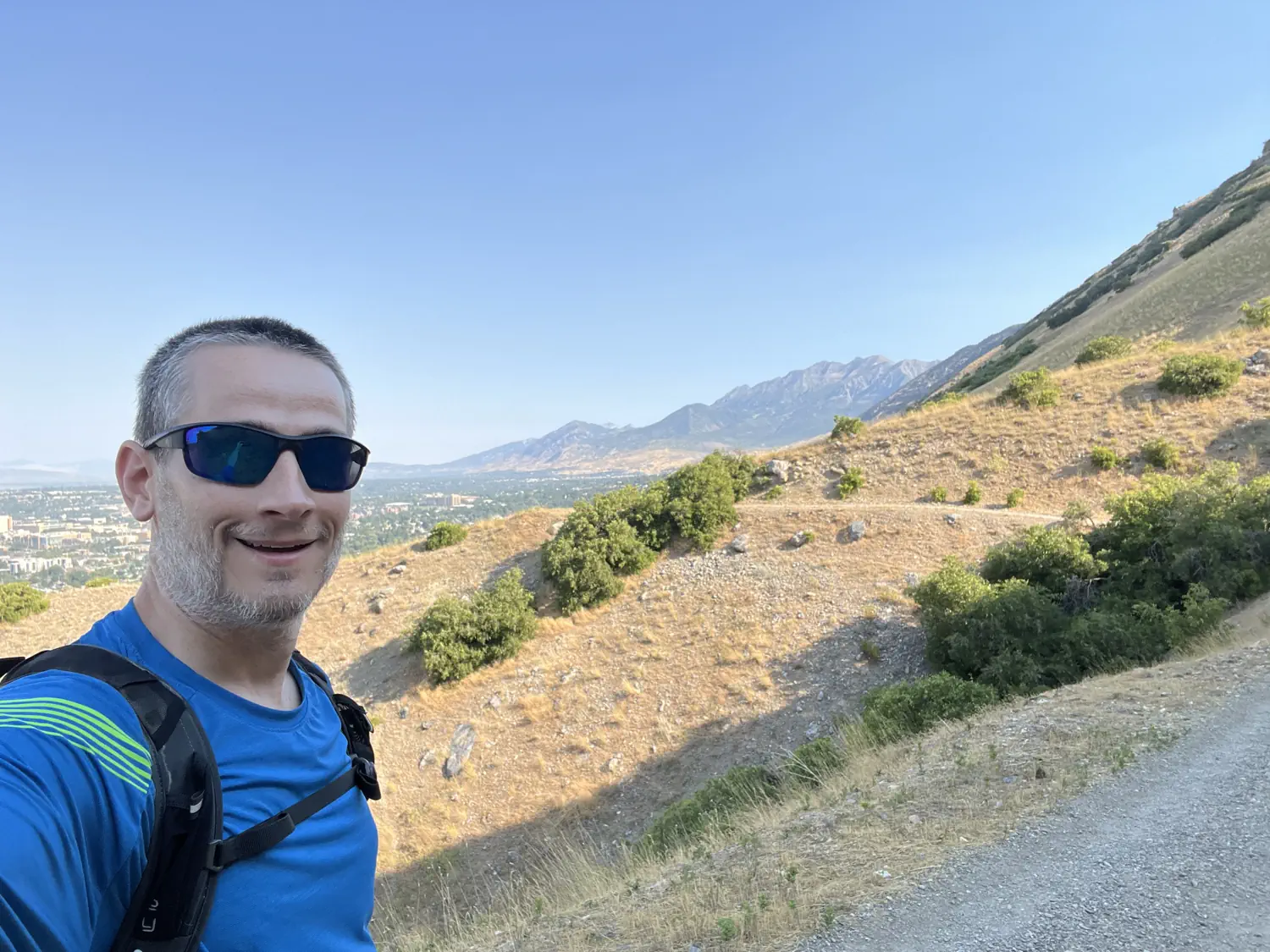
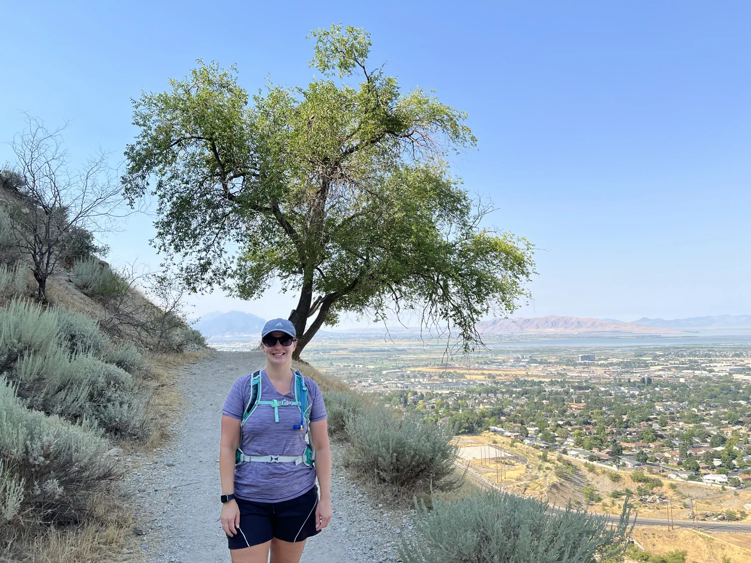
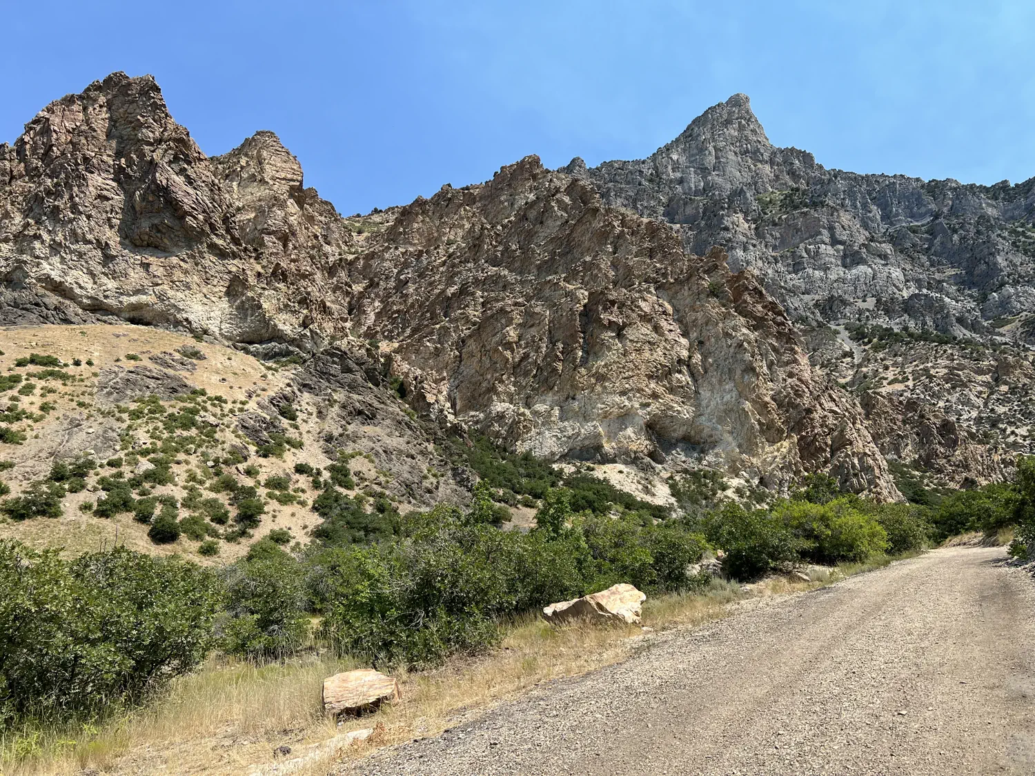
We started the hike by heading south from The "Y" trailhead towards Slate Canyon. This section of the trail provides a great warmup as it consists of a generally downward-sloping/flat grade with spectacular views above Provo and Utah Lake. We hiked for about 2.5 miles (4.0 kilometers) before turning around and heading back to The "Y" trailhead. The return trip was much more difficult as we had to ascend for most of the route. Once back at the trailhead, we took a quick 15-minute break to recharge and prepare for the second leg of our hike.
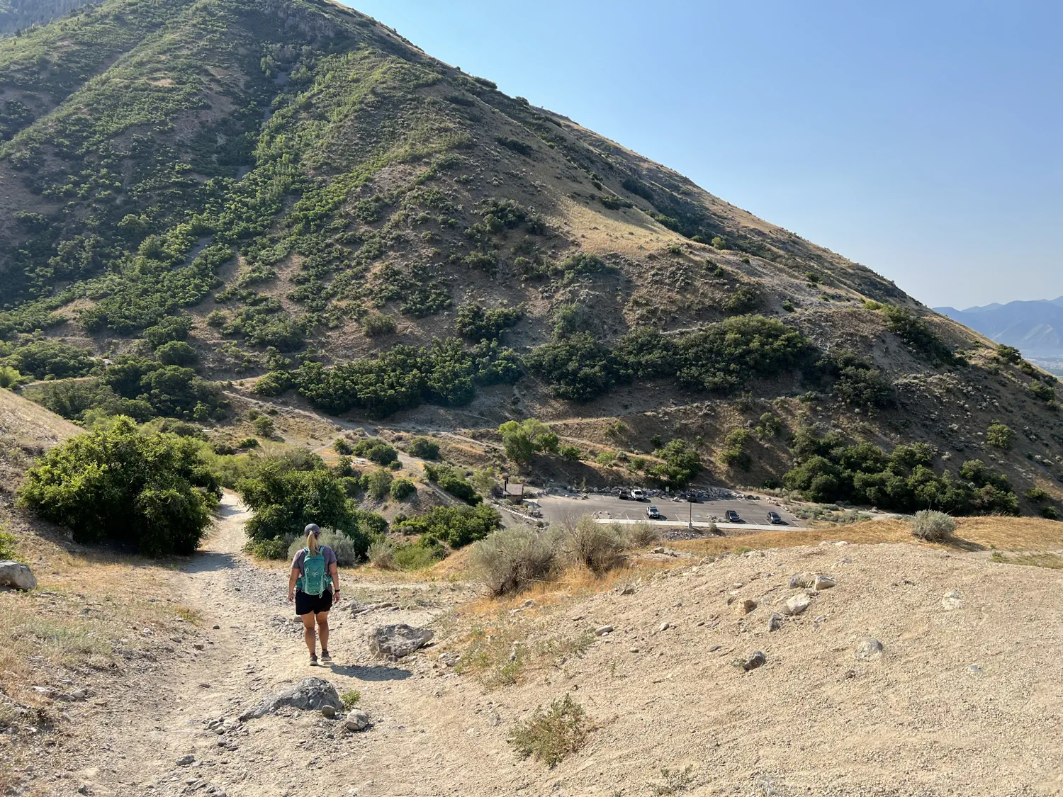
Gallery of the first part of our hike; southbound on the Bonneville Shoreline Trail
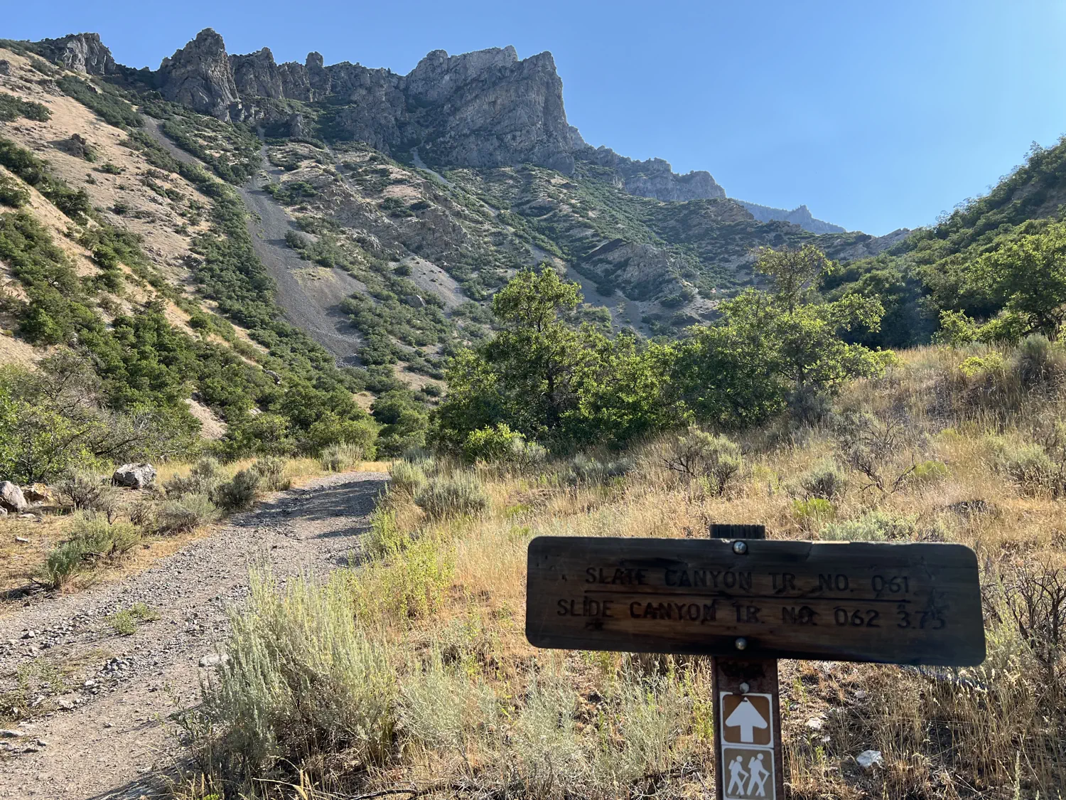
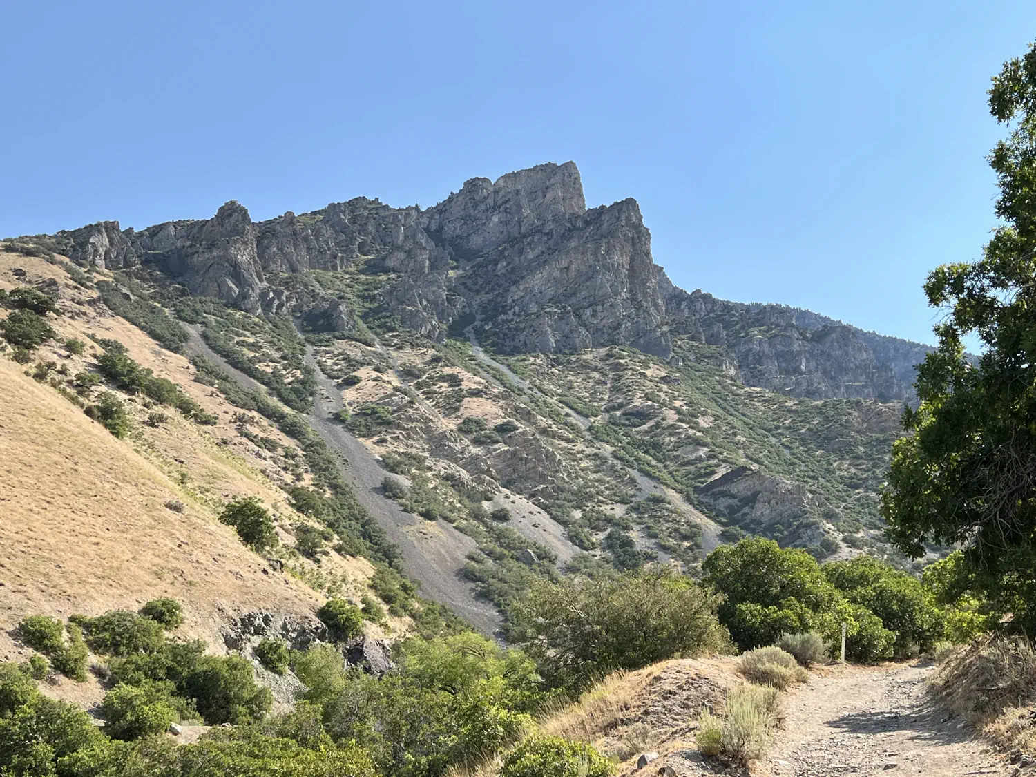
After our break, we headed north towards Rock Canyon. This section of the trail was much more difficult! It starts with two very steep climbs followed by equally steep descents. This put a lot of strain on both of us since we had already walked over 5 miles (8 kilometers) at this point and the temperatures were starting to soar towards 100°F (37.8°C). We hiked for nearly 2 more miles before turning around and returning to The "Y" trailhead once again.
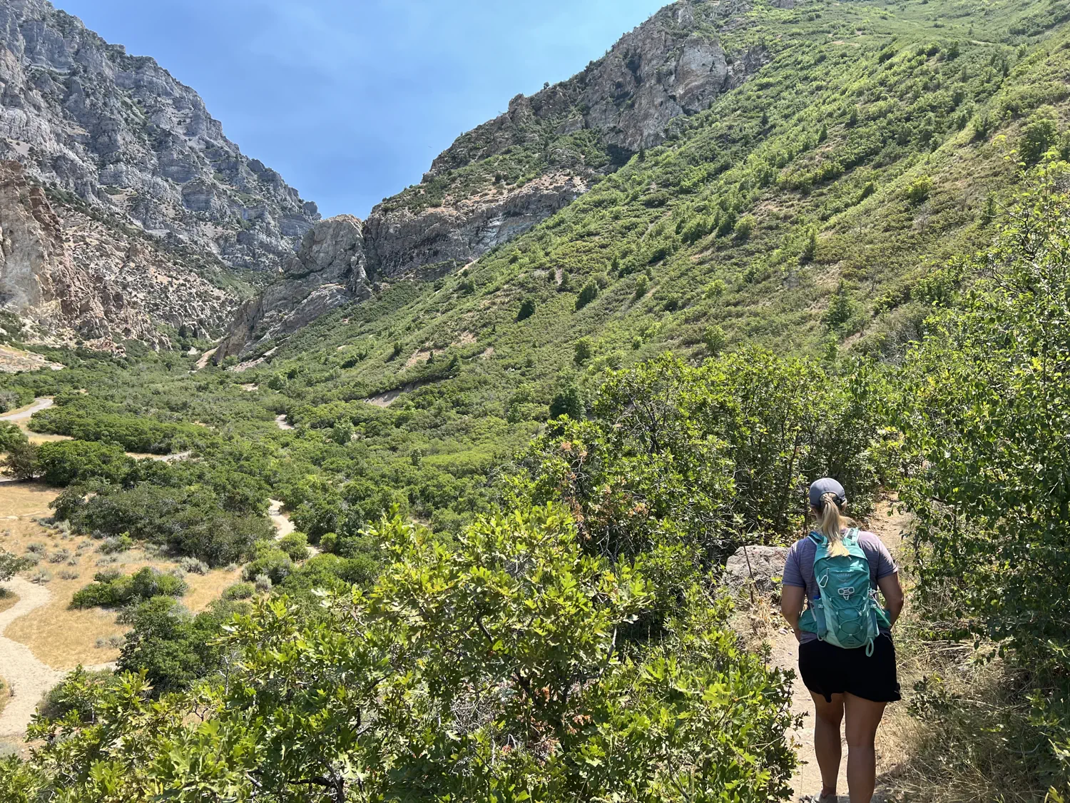
Gallery of the second part of our hike; northbound on the Bonneville Shoreline Trail
All in all, we hiked for a total of 8.7 miles (14.0 kilometers) with nearly 1,500 feet (457 meters) of elevation gain. This was excellent training for our upcoming trip!!!
Upcoming posts and videos 👷 👷♀️️
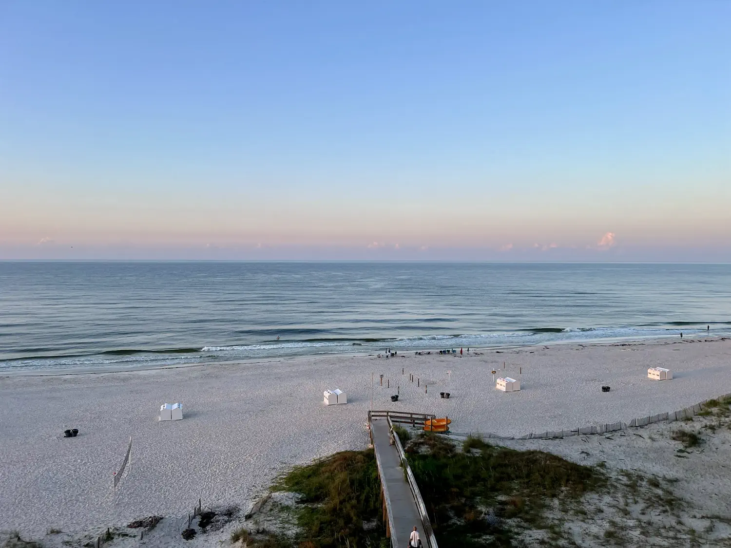
Lindsey has wrapped up the posts on Yi's visit to Utah. We have several prior trips that we haven't yet shared so be sure to subscribe to our blog if you haven't done so already. We will also put together a full blog post about our trip to Gulf Shores, Alabama, and Lindsey's most recent trip to Redfish Lake in Idaho.
We hope that you are enjoying our newsletters. Do you have any summer vacation plans? How do you like to enjoy the summer? Let us know in the comments section below.👇 💬